Search
Francisco Requena y Herrera (1743-1824) was a notable Spanish military officer, engineer, geographer, and colonial administrator, renowned for his contributions in the fields of cartography, military engineering, and colonial governance. Born the son of Colonel Francisco de Requena y Molina, he demonstrated an early aptitude in mathematics and engineering, leading to a career that spanned various roles and geographical regions.
Requena's career began at a military academy in his hometown, where his talents in mathematics and engineering were quickly recognized. His skills as an engineer led to his involvement in fortification works in Oran, Rosalcazar, and other locations. He rose through the ranks in the military, being promoted to engineer draughtsman and later to engineer ensign.
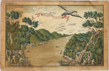
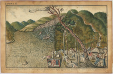
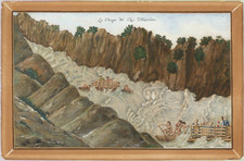
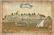
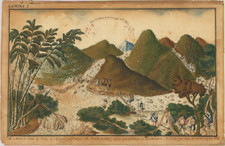
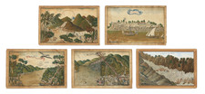
In 1764, Requena was assigned to the Audiencia of Panama, where he spent nearly five years working on the fortifications of Panama, Chagres, and Darién. His work as a cartographer began in earnest when he was sent to Guayaquil by the Viceroy of Santa Fe to map the city and fortify its port. His six-year tenure in Guayaquil was marked by significant contributions to the mapping and description of the region, utilizing and building upon the measurements of noted explorers like Bouguer, La Condamine, Jorge Juan, and Antonio de Ulloa.
Requena also played a key role in the division of the bishopric of Quito and was tasked with mapping the district of the Audiencia of Quito. His work extended to the Amazon region, particularly the land of the Omaguas and the governorship of Maynas, where he compiled notes on the old Jesuit missions and later organized the IV Partida de Límites.
His diplomatic and engineering skills were demonstrated in his negotiations with the Portuguese over the surrender of the fortress of Tabatinga and his efforts to resolve territorial disputes between Spain and Portugal in South America following the 1777 Treaty of San Ildefonso. This work culminated in his appointment as a Minister of the Supreme Royal Council of the Indies in 1798 and his involvement in the General Advisory Board for the Defence of both Indies.
Requena's later years saw him rise to the rank of field marshal, and he was involved in various military and engineering projects in Spain, including the canal from Reus to Salou and the defense against Napoleon Bonaparte's invasion. He was also a key figure in the Supreme War Council of Catalonia.
Requena passed away in Madrid at the age of eighty-one, leaving behind a legacy as an exceptional cartographer and a dedicated public servant who played a significant role in the colonial administration and defense of the Spanish Empire in the Americas.
Archived