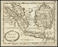
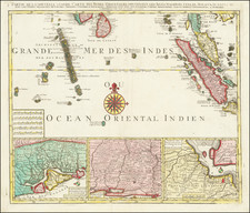
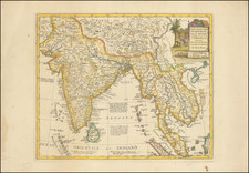
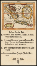
|
||

|

|
|

|
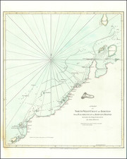
A Chart of the North-West Coast of Borneo from Balambangan to Borneo Proper, conducted by James Barton aboard the sloop Endeavour and published on May 12, 1794, by Laurie & Whittle in London, offers a detailed representation of northern Borneo's coastline. Emphasizing key topographical elements, the chart highlights locations such as the "Kenney-Balloo" mountain (Mount Kinabalu) and various islands off the north coast of Borneo.
Notably, Bandar Seri Begawan, now the capital of Brunei, is simply referred to as "Town" in the chart's lower left quadrant. The modest marking of Bandar Seri Begawan as "Town" suggests the evolving nature of settlements and place recognition during that period. Given the city's contemporary significance, this understated representation underscores the historical transformation of the region and the city itself. The chart stands as both a navigational tool and a document capturing a moment in the evolving cartographical understanding of Borneo.
Robert Laurie (ca. 1755-1836) and James Whittle (1757-1818) formed their Fleet Street, London-based firm upon the 1794 death of their employer Robert Sayer, himself one of the dominant print and mapmakers of the last half of the 18th century.
Laurie & Whittle started managing Sayer's business as early as 1787. They took over all managerial duties when Sayer's health flagged in 1792, and they changed the imprint in 1794 upon his death. Sayer left the two a 21-year lease on the shop (at £100 a year) and on Sayer's Bolt Court premises, as well as an option to acquire stock and equipment at a preferential price of £5,000 payable over three years.
Robert Laurie retired from the firm in 1812, and his role was assumed by his son, Richard Holmes Laurie (1777-1858). The younger Laurie worked with James Whittle until the latter died in 1818. After R. H. Laurie died in 1858, Alexander George Findlay, FRGS (1812-1875) purchased the firm from his daughters. The firm continues today under another name, specializing in yachting charts.
Laurie & Whittle were prolific print and map publishers, and throughout their careers, they produced numerous very important and rare works. They carried on Robert Sayer's atlas business and were responsible for editions of The Complete East-India Pilot and The American Atlas.