This item has been sold, but you can enter your email address to be notified if another example becomes available.


|
||

|

|
|

|
Stock# 91785
Description
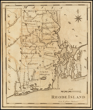
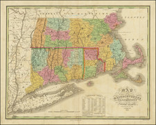
An early map of Connecticut, Rhode Island, and eastern Long Island from the October 1780 edition of Universal Magazine (Jolly I Univ-189).
The map includes towns, roads, mountains, rivers, harbors, etc. Extends north to Buzzard's Bay, Plymouth Bay and part of Martha's Vineyard.