The item illustrated and described below is sold, but we
have another example in stock. To view the example which
is currently being offered for sale, click the
"View Details" button below.


|
||

|

|
|

|
Stock# 86747
Description
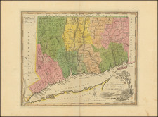
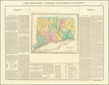
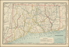
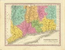
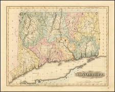
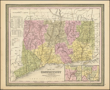
Detailed and interesting map of Connecticut, hand colored by county and showing towns, rivers, bays, lakes, railroads, roads, distances, etc.
Tables of populations by county and showing growth of population since 1701.
A nice example of this increasingly difficult to obtain pre-Civil War map.
Insets of Hartford and New Haven.