
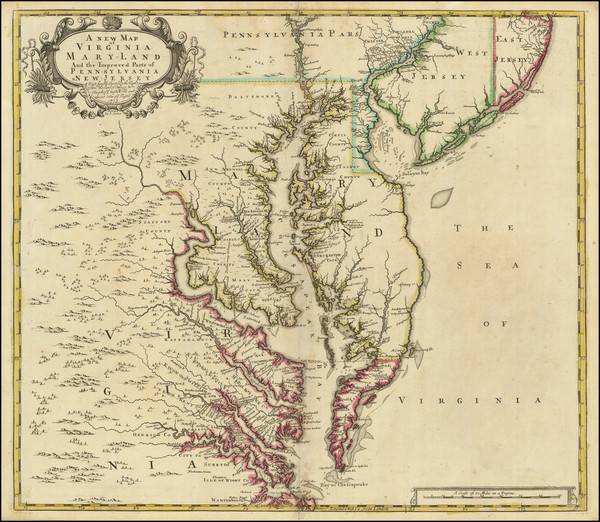
Search
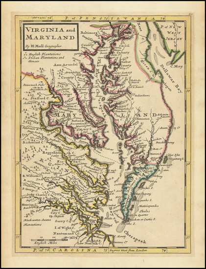
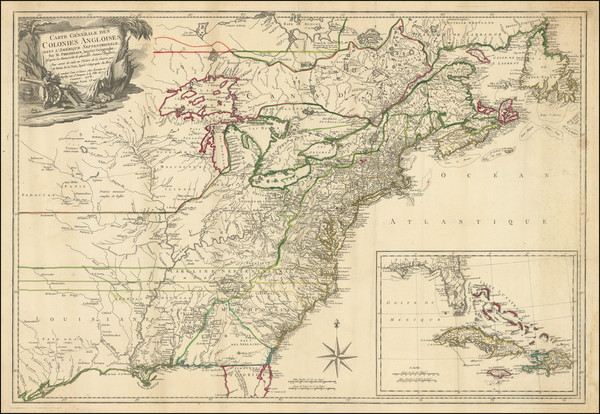
Place/Date:
London / 1729
Size:
8 x 11 inches
Condition:
VG
Stock#:
93311
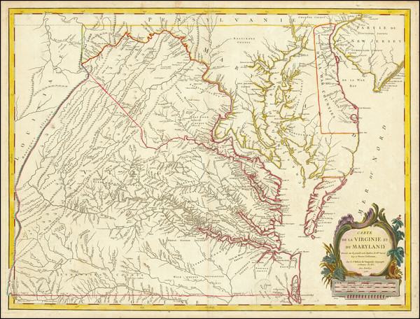
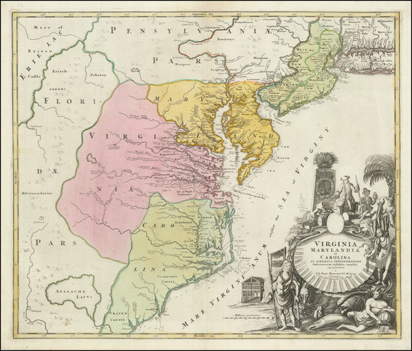
1729 antique Moll map showing the Mid-Atlantic.
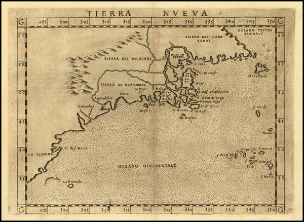
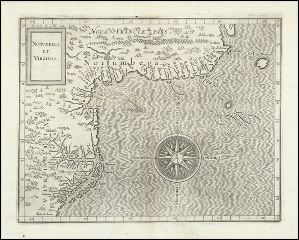
Place/Date:
Venice / 1561 (1574)
Size:
10 x 7.5 inches
Condition:
VG+
Stock#:
86737
Ruscelli's 1561 antique map showing the Mid-Atlantic.
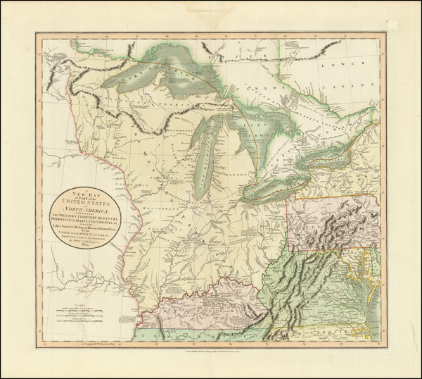
Place/Date:
London / 1805
Size:
20.5 x 18 inches
Condition:
VG+
Stock#:
87487
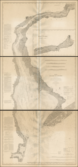
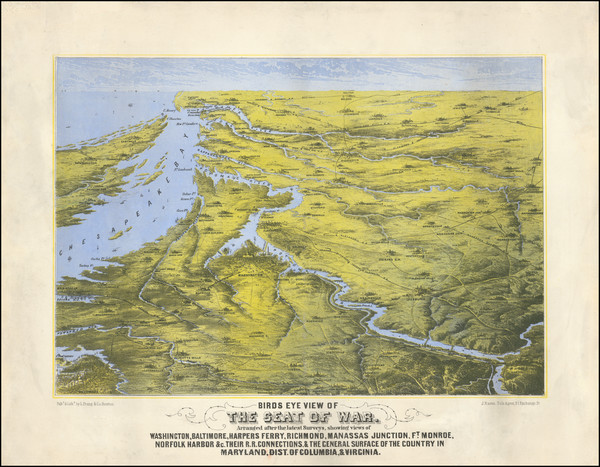
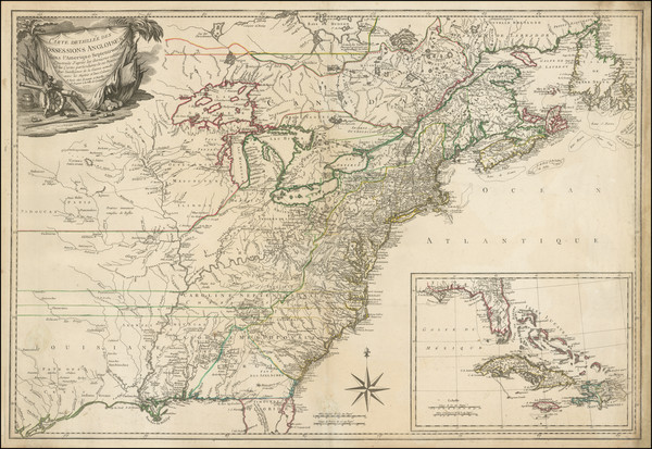
Place/Date:
Washington / 1848
Size:
35.5 x 77 inches (if joined)
Condition:
VG
Stock#:
0004sh
1848 rare U.S. Coast Survey map showing the Mid-Atlantic.
Place/Date:
Venice / 1561
Size:
10 x 7 inches
Condition:
VG
Stock#:
64626
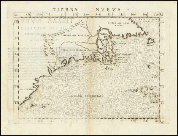
1561 Antique Map of North American Coastline.

Place/Date:
Sweden / 1816
Size:
20.5 x 15 inches
Condition:
VG+
Stock#:
64709
Place/Date:
Nurmberg / 1716
Size:
22.5 x 19 inches
Condition:
VG
Stock#:
100105
Place/Date:
Amsterdam / 1675
Size:
22.5 x 19 inches
Condition:
VG+
Stock#:
73515
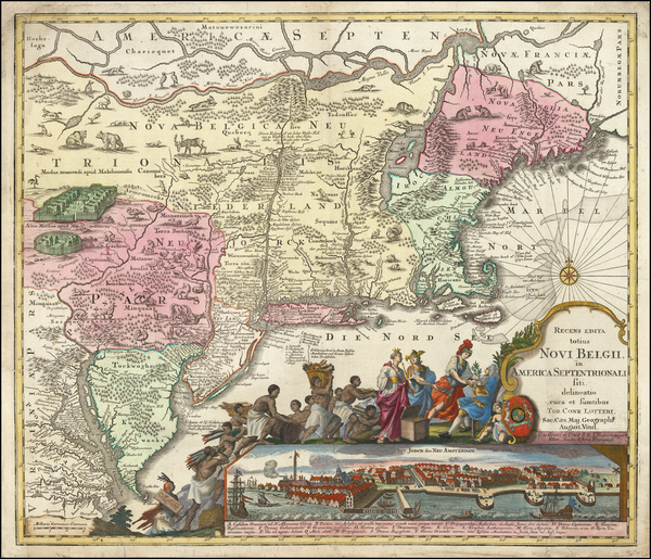
De Wit's 1675 rare map showing the Mid-Atlantic.
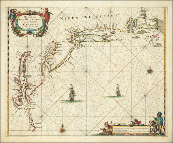
Place/Date:
Amsterdam / 1696
Size:
23 x 18.5 inches
Condition:
Good
Stock#:
75875
Place/Date:
Braunschweig / 1778
Size:
11.7 x 14.8 inches (map size)
Condition:
VG
Stock#:
84175
Place/Date:
Oxford / 1700
Size:
19 x 14 inches
Condition:
VG
Stock#:
98233
Place/Date:
Amsterdam / 1672 circa
Size:
21.5 x 17 inches
Condition:
VG
Stock#:
84924
Place/Date:
Amsterdam / 1637
Size:
20 x 15.5 inches
Condition:
VG
Stock#:
91920
Place/Date:
Paris / 1778
Size:
25.5 x 19 inches
Condition:
VG
Stock#:
89532
Place/Date:
London / 1747
Size:
17 x 14 inches
Condition:
VG+
Stock#:
103556
Place/Date:
London / 1794
Size:
26 x 19.5 inches
Condition:
VG
Stock#:
49212
Laurie & Whittle's 1794 original map showing the Mid-Atlantic.
Place/Date:
Nuremberg / 1778
Size:
22 x 28 inches
Condition:
VG
Stock#:
103550
Place/Date:
London / 1796 circa
Size:
25 x 19 inches
Condition:
VG
Stock#:
50850
Antique map showing the Mid-Atlantic by Bowles & Evans made in 1796.
Place/Date:
Philadelphia / 1813
Size:
18 x 16 inches
Condition:
VG
Stock#:
66754
Place/Date:
Nuremberg / 1718
Size:
16.5 x 12.5 inches
Condition:
VG
Stock#:
72622
Place/Date:
London / 1719
Size:
23.5 x 20 inches
Condition:
VG
Stock#:
74465
Rare map showing the Mid-Atlantic by Senex made in 1719.
Place/Date:
Nuremberg / 1720
Size:
23 x 19.5 inches
Condition:
VG
Stock#:
93882

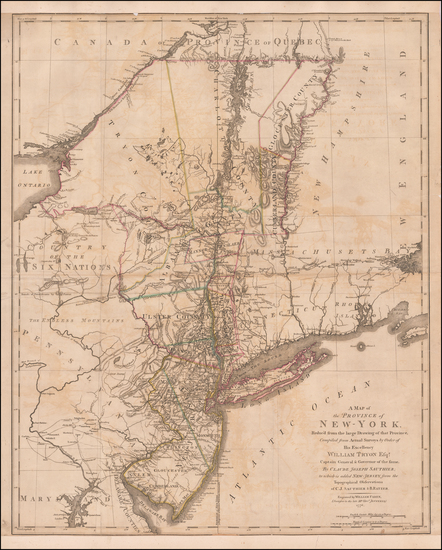
Place/Date:
Augsburg / 1777
Size:
22 x 28.5 inches
Condition:
VG
Stock#:
58857
Rare map showing the Mid-Atlantic by Lotter, 1777.
Place/Date:
Augsburg / 1757 circa
Size:
22.5 x 19.5 inches
Condition:
Good
Stock#:
63924
Original map showing the Mid-Atlantic by Lotter, 1757.
Place/Date:
Amsterdam / 1737
Size:
20.5 x 22 inches
Condition:
Good
Stock#:
64717
Place/Date:
Amsterdam / 1640 circa
Size:
20 x 15.5 inches
Condition:
VG+
Stock#:
91974
Place/Date:
Amsterdam / 1640
Size:
19 x 15 inches
Condition:
VG
Stock#:
93234
Place/Date:
New York / 1827 (1840)
Size:
37 x 26.5 inches
Condition:
VG+
Stock#:
84684
Place/Date:
Baltimore / 1838 circa
Size:
20.5 x 27 inches
Condition:
VG
Stock#:
45033
Soiecki's 1838 antique map showing the Mid-Atlantic.
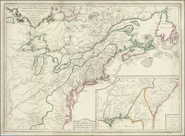
Place/Date:
Paris / 1777
Size:
28.5 x 21 inches
Condition:
VG
Stock#:
89535
Place/Date:
Paris / 1753 (1755)
Size:
26.5 x 19 inches
Condition:
VG+
Stock#:
94454
Place/Date:
London / 1719
Size:
22 x 19.5 inches
Condition:
VG
Stock#:
95619
Senex's 1719 antique map showing the Mid-Atlantic.
Place/Date:
Paris / 1756
Size:
30 x 21.5 inches
Condition:
VG
Stock#:
94026
Place/Date:
Amsterdam / 1695 circa
Size:
23 x 20 inches
Condition:
VG
Stock#:
47255
1695 original Van Keulen map showing the Mid-Atlantic.
Place/Date:
Paris / 1778
Size:
20 x 26.5 inches
Condition:
VG
Stock#:
78970
Place/Date:
London / 1776
Size:
20.5 x 43.5 inches Each Sheet
Condition:
Good
Stock#:
91422
Place/Date:
London / 1776
Size:
22.5 x 28.5 inches
Condition:
Good
Stock#:
60351
Original map showing the Mid-Atlantic by Sauthier / Ratzer, 1776.
Place/Date:
Louvain / 1597 (1607)
Size:
11.5 x 9 inches
Condition:
VG
Stock#:
98918
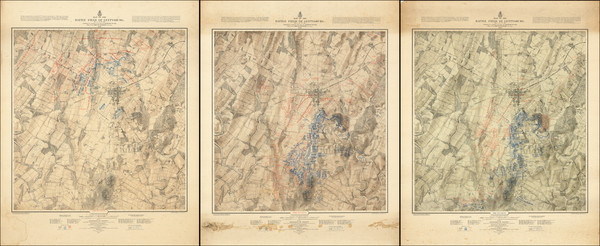
Place/Date:
Boston / 1861
Size:
16.5 x 19.5 inches
Condition:
VG
Stock#:
102933

Place/Date:
Amsterdam / 1684 circa
Size:
21.5 x 18.5 inches
Condition:
VG
Stock#:
93874
Place/Date:
New York / 1825 circa
Size:
86 x 29 inches
Condition:
VG
Stock#:
77294

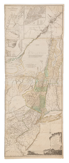
Place/Date:
New York / 1779
Size:
35 x 31 inches
Condition:
VG
Stock#:
51318
Antique map showing the Mid-Atlantic by Des Barres, 1779.
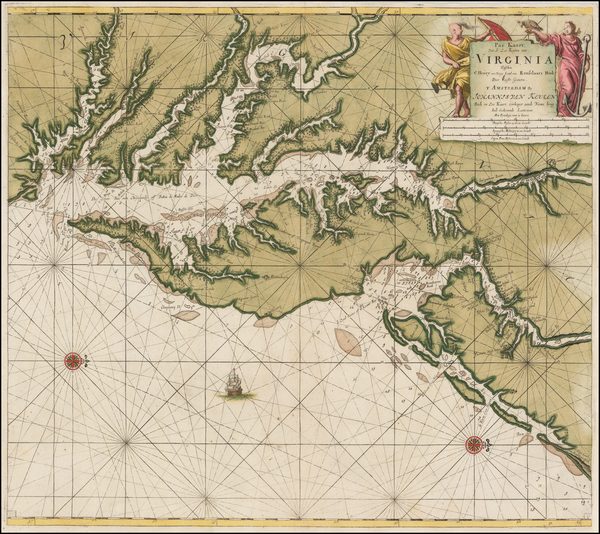
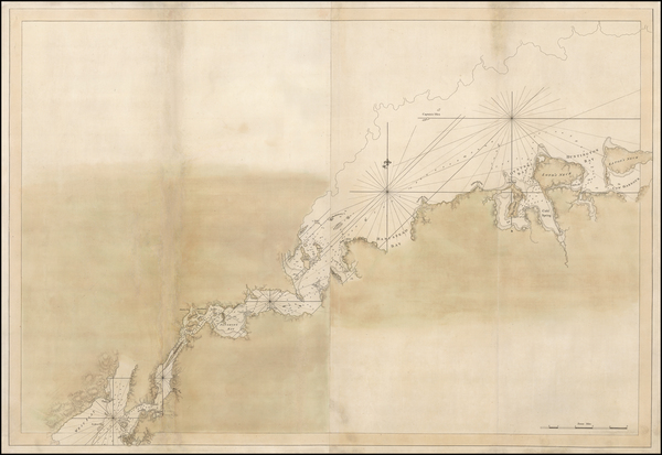
Place/Date:
Amsterdam / 1692
Size:
31.5 x 21.5 inches
Condition:
VG
Stock#:
61392mp2
17th Century Sea Chart of The Chesapeake and Delaware Bay -- Virginia, Maryland, Delaware, New Jersey
Place/Date:
Antwerp / 1625
Size:
14 x 11 inches
Condition:
VG+
Stock#:
91528
Place/Date:
London / 1777 circa
Size:
46 x 31.5 inches
Condition:
VG
Stock#:
51531
Des Barres's 1777 rare map showing the Mid-Atlantic.
Place/Date:
Paris / 1777
Size:
31.5 x 20.5 inches
Condition:
VG
Stock#:
103484
Place/Date:
Amsterdam / 1666
Size:
21 x 17 inches
Condition:
VG
Stock#:
66883op

Place/Date:
Amsterdam / 1651 (1660 ca)
Size:
20.5 x 17.5 inches
Condition:
VG
Stock#:
66922
Jansson's 1651 antique map showing the Mid-Atlantic.
Place/Date:
Washington / 1876
Size:
27.5 x 34 inches each
Condition:
VG
Stock#:
101769
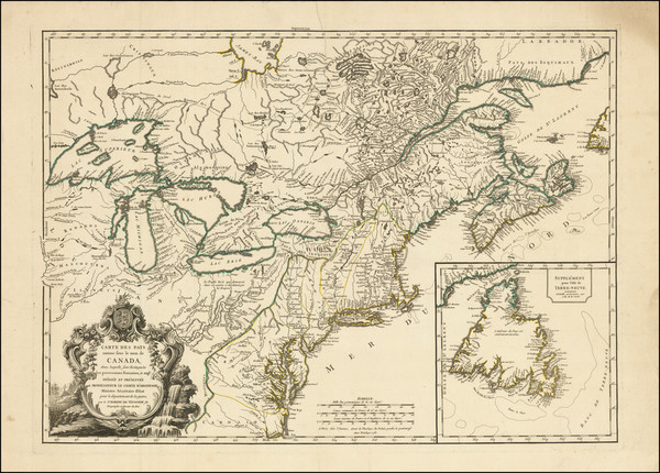
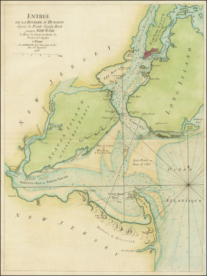
Place/Date:
Paris / 1778
Size:
30 x 20.5 inches
Condition:
VG
Stock#:
103467