This item has been sold, but you can enter your email address to be notified if another example becomes available.


|
||

|

|
|

|
Stock# m0053
Description
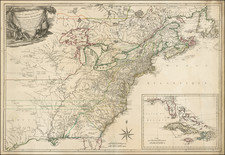
Detailed map, divided by counties and townships. Shows towns, roads, mountains, rivers, railroads, lakes, etc. Morse & Breese's North American Atlas was one of the first American Atlases to employ the cerographic printing process, a process invented by the Morse's and the first truly American printing process. An essential map for American Map collectors, illustrating an important change in the history of printed maps and the only truly American cartographic publishing innovation.

![[ Pictish Warrior Woman ] Feminae Pictae icon V](https://storage.googleapis.com/raremaps/img/small/99648.jpg)