This item has been sold, but you can enter your email address to be notified if another example becomes available.

Stock# ChurchAtlas
Description
Third Edition. 224, [4] pages; 23 color-printed maps, a chart, and folding printed table. 8vo. Original blue limp cloth, upper cover blocked in blind and gilt-lettered, gilt edges.
OCLC records two copies in North America (Georgia State and Chicago); COPAC (BL, NLW, NLS, Oxford, Cambridge, and Lambeth).
RBH records no copies at auction.
Condition Description
Slightly shelf-worn but generally in fine condition; bookplate of 'The Belfast Library and Society for Promoting Knowledge". Blind stamps of the same in text and on plates.
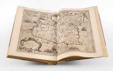
![Atlas Novus Reipublicae Helveticae XX. Mappis . . . [with] Schweitzer-Geographie. Samt den Merkwurdigkeiten in den Alpen und hohen Bergen. Zur Erläuterung der hommannischen Charten herausgegeben](https://storage.googleapis.com/raremaps/img/small/84155.jpg)
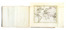
![[ World Atlas ] [ Composite Atlas of the World including important American maps and Whiston's Scheme of the Solar System ]](https://storage.googleapis.com/raremaps/img/small/100165.jpg)