


|
||

|

|
|

|
The map offers a detailed perspective of a segment of France during a key period in history. Specifically designed for motorists and cyclists, this map is an indication of the increasing use of these modes of transportation in the early 20th century, and a testament to the infrastructural advancements that France had made by this time.
The map extends from Paris, the heart of France, to the areas near Dijon and Meuse. The broad scope of the map allows for an overview of an extensive region, providing users with a sense of the connectivity and the scale of the landscape. The chosen area highlights the southeast environs of Paris, a part of France renowned for its rich culture, history, and natural beauty.
The mapping of this region also suggests a focus on popular travel routes of the time. Both Dijon, known for its historical architecture and gastronomy, and Meuse, recognized for its important role in World War I and its lush landscapes, would have been key destinations for motorists and cyclists journeying from Paris.
Interestingly, the map not only offers a geographical understanding but also reveals a significant sociocultural shift in early 20th century France. The fact that it is tailored specifically for motorists and cyclists indicates the advent of personal transportation as a popular means of travel. This was a time when the proliferation of the automobile was beginning to change the face of travel, and the emergence of a new culture of leisurely cycling was gaining traction.
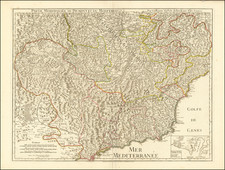
![(Monaco to Grimaldi di Ventimiglia) Carte des Costes d'Italie depuis Monaco jusqu'a La pointe de Murtera [Map of the Coasts of Italy from Monaco to the Point of Murtera]](https://storage.googleapis.com/raremaps/img/small/92355.jpg)
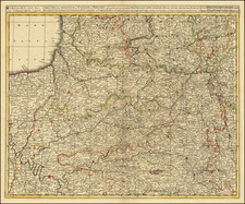
![[Course of the Rhine River] Corso del Reno Parte Septentrio [and] Corso del Reno Parte Meridionale . . . 1690](https://storage.googleapis.com/raremaps/img/small/73095.jpg)
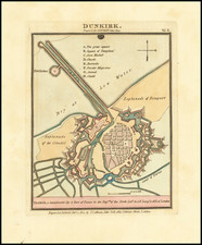
![[Plan of the Siege of Guînes, France] Ritratto Della Fortezza di Ghines, presa perforza dallo essecito del Re Christianissimo . . .](https://storage.googleapis.com/raremaps/img/small/75485.jpg)