|
||

|

|
|

|
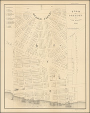
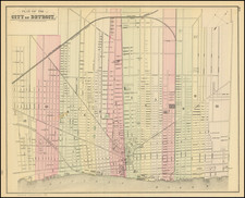
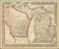
Stock# 95401
Description
Detailed and interesting map of Michigan, hand colored by county and showing towns, rivers, bays, lakes, railroads, roads, distances, etc.
Tables of Steam Boat routes and distances.
The map shows the newly created Wyandot (Wyandotte) County in 1854.
A nice example of this increasingly difficult map to obtain, from an early edition of the Thomas Cowperthwait version of Mitchell's Universal Atlas.