|
||

|

|
|

|
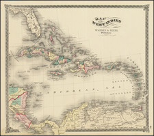
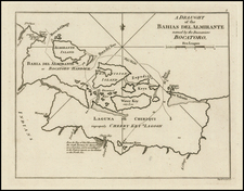
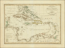
In Isles de Saint Domingue Hispaniola, et de La Martinique, Gilles Robert de Vaugondy, the esteemed geographer to King Louis XV, presents a richly detailed map of these Caribbean islands as they stood in 1750. The map captures not only the geographical intricacies of Hispaniola and Martinique but also the political and commercial dynamics of the region in the mid-18th century.
In the context of the 18th century, these Caribbean islands were the epicenters of European colonial activities. The detailed mapping of Hispaniola and Martinique by Vaugondy provides a comprehensive depiction of these key strategic locations, offering a revealing perspective on the broader geopolitical environment of the era. The map, punctuated with an inset of Isle de La Martinique in the upper left, illustrates the meticulous research and precision that were the hallmarks of Vaugondy's work.
The Vaugondy family, headlined by Gilles and his son Didier, were renowned for their commitment to geographical accuracy and thorough research. They built their reputation on the foundations of the inherited business from Pierre-Moullart Sanson, along with its stock of plates and a roller press. By 1760, Gilles' contribution to the field of cartography had earned him the prestigious position of geographer to King Louis XV.
Notably, the Vaugondys' work culminated in 1757 with the publication of the Atlas Universel, revered as an authoritative source for many years. The map Isles de Saint Domingue Hispaniola, et de La Martinique, offers a glimpse into the craftsmanship and scholarly rigor that established the Vaugondys as leaders in their field. It stands as an enduring testament to their contribution to the cartographic representation of the Caribbean region during a critical period of colonial history.
Gilles Robert de Vaugondy (1688-1766) and Didier Robert de Vaugondy (1723-1786) were influential figures in the realm of 18th-century French cartography. Originating from Paris, their contributions to mapmaking were significant during an era of expansive geographical exploration.
Gilles Robert de Vaugondy entered the world of cartography not through family tradition but through personal interest and the budding opportunities of his time. Born in 1688, he worked during a time when Paris was becoming a central hub for cartographic activities. Gilles often incorporated the latest findings from explorers into his maps, making them sought-after for their contemporary relevance. His connections weren't limited to his immediate circle; he frequently interacted with other key mapmakers, staying updated on the latest techniques and findings.
His son, Didier, was born in 1723 and had the advantage of growing up surrounded by maps and globes. While his father was renowned for maps, Didier made a name for himself in the field of globemaking. His globes were some of the most precise and detailed in France, gaining recognition even among the royalty. In addition to his work in cartography and globemaking, Didier had a keen interest in education, especially after the expulsion of the Jesuits from France. He stepped in to produce geographical educational materials, fulfilling a newfound need.
The maps and globes produced by the Vaugondys remain an enduring testament to the peak of French cartography during the Enlightenment. Their works, characterized by precision and the inclusion of contemporary findings, helped to shape our understanding of the world during a transformative period in European history.