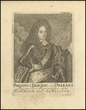
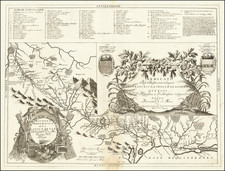
|
||

|

|
|

|
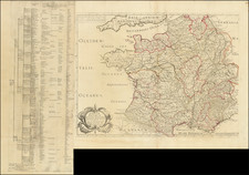
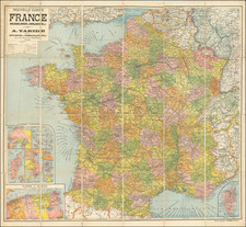
Fine four-sheet wall map of France, published in 1955 and representing the fourth edition of the 1889 1:100,000 geological map of France, the first such map produced under the directorate of the Service de la Carte Geologique Detaillee de la France.
This important update to the map is was published by Jean Goguel, and shows the nation in four sheets. Over thirty different types of igneous, metamorphic, and sedimentary strata are shown. An inset in the lower right shows Corsica, and the geology of the south of England is visible in the upper left.
The first edition of the map, published in 1889, marked a milestone in geological cartography, showcasing the collaborative efforts of renowned geologists of that era. The subsequent editions, released in 1905 and 1933, incorporated updated information and refinements, reflecting the progress in geological understanding. The fourth edition, published in 1955 under the directorship of Jean Goguel, further enhanced the map's accuracy and reliability. The diligent work of Goguel, along with the contributions of A. Chabrol and M. Lemoine in overseeing the graphical aspects, ensured the map's continued relevance and usefulness.
With its rich geological information and meticulous attention to detail, this geological map of France serves as a testament to the expertise and dedication of the geologists and cartographers involved in its creation. Later editions of this map were published in 1968, 1996, and 2003, and higher-resolution maps have also appeared, with sometimes incomplete coverage.