|
||

|

|
|

|
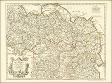
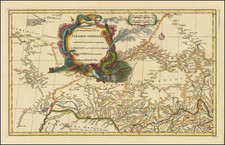
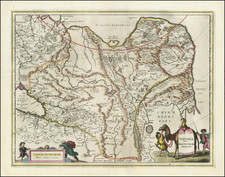
The Kingdom of China, published by John Seller in London in 1679, encompasses not only China—with an illustration of the Great Wall—but also "Corea," the Philippines, and a significant portion of Southeast Asia. This 17th-century geographical documentation illustrates a profound understanding of the East Asian region, reflective of the growing Western interest in these territories.
The late 17th century was a period marked by burgeoning Western exploration and increasing maritime trade with Asia. Seller, as the foremost British chart and instrument maker of his era, was at the forefront of these developments. His depiction of China, particularly with the Great Wall, shows an awareness of the country's distinct geographical features. The Wall, long a symbol of China's isolationism, signifies the challenges that Western merchants and explorers faced in establishing relations with the Qing dynasty China.
John Seller was one of the most notable map and instrument makers in England in the late-seventeenth century. He was especially known for the sea charts, many of which featured in his influential English Pilot and Atlas Maritimus. Seller was born in London in 1632. His father was a cordwainer and John was apprenticed to Edward Lowe, of the Merchant Taylors’ Company. He was made free of that company in 1654. Later, he also was made a brother of the Clockmakers’ Company, which housed several instrument makers. He started business as a compass maker but expanded his offering to include navigational instruments and charts.
Seller’s career was halted temporarily, and fantastically, when he was tried for high treason in 1662. He was accused of involvement in a plot led by Thomas Tonge. While Seller likely only unwisely repeated rumors, he was convicted. The other conspirators, who did admit some degree of guilt, were executed, but Seller maintained his innocence and, via insistent petitions, he eventually secured his release from Newgate Prison.
This episode did not seem to slow Seller’s rise too much, however. Seller was granted a royal license to publish English-language maritime atlases. This gave him a near-monopoly and led to his being named hydrographer to the King in 1671. Although the point of the project was to produce English charts of Dutch dominance and bias, Seller ended up using many Dutch plates as his base material. The first volume of The English Pilot was published in 1671, followed by more volumes as well as The Coating Pilot (1672) and the Atlas Maritimus (1675). Seller was commercially successful, but some of his projects required further support. The English Pilot was eventually taken over by John Thornton and William Fisher, for example, and his proposed English atlas only produced maps of six counties.
Seller’s sons, John and Jeremiah, followed in their father’s profession. Seller also apprenticed several promising young men, including Charles Price, with whom his sons partnered. Through Price, Seller can be seen as the founding figure of an important group of London mapmakers that included Price, John Senex, Emanuel Bowen, Thomas Kitchin, and Thomas Jefferys.