|
||

|

|
|

|
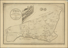
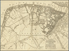
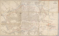
Extremely Rare Pocket Map of London (Crystal Palace on Cover)
Iconic old colored pocket map of London.
Double-line street map showing main thoroughfares, principal buildings, and the City of London boundary in pink.
In the original cardboard linen binder with the original and complete 30-page booklet titled Index to New Plan of London; containing references to 2,800 streets, squares, &c. A list of 350 churches and chapels... and a plan for viewing London in seven days.
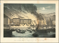
The record of Whitbread's cartographic output appears to suggest something of a focus on the Crystal Palace. His earlier maps of London were published with the 1851 Great Exposition in mind, where the Crystal Palace was first built in Hyde Park. In 1854, the palace was moved to Penge Place, where it stood until it burned in 1936.