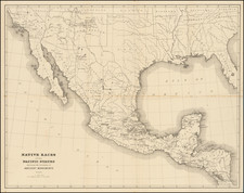
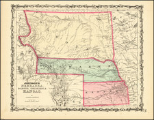
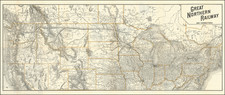
|
||

|

|
|

|
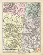
The exceedingly rare first edition of Nell's map of Colorado. A remarkably detailed map, certainly the most complete of Colorado to appear after statehood (1876). The map meticulously depicts the geographicaland topographical details of the state, . including mountain elevations. Wagon roads, trails, and railroads both existing and proposed are depicted. Counties are shown in different colors. Nell was worked on the 1871-1879 Wheeler Surveys and gained a significant amount of information from this work, which he ultimately employed in producing what is without doubt the best large format map of the state of the period and became a huge commercial success. Nell notes Railroads, proposed Railroads, Wagon Roads, proposed Wagon Roads, Trails, County Seats, Post Offices (to July 1, 1880), Villages, Townships subdivided and surveyed, Contour lines, Military Reservations, Private Grants, areas of each county, astronomical positions, arable lands, and a host of other details. A Good example, laid onto the original linen and folding into a brown folder with gilt title. A bit of misfolding and chipping at the intersections, but generally a very nice example of the rare first edition of this map, apparently the only example to reference Stone & Company as General Agents at 372 Larmier Street, Denver. Rumsey 662 (1883 edition).

![Air Log Western Air Express [Los Angeles-San Diego, Las Vegas-Los Angeles, Milford-Vegas, Salt Lake City-Milford]](https://storage.googleapis.com/raremaps/img/small/85953.jpg)