This item has been sold, but you can enter your email address to be notified if another example becomes available.


|
||

|

|
|

|
Stock# 8340
Description
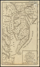
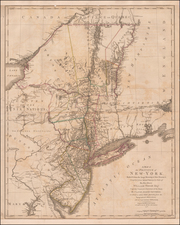
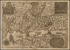
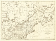
Detailed map of the 3 counties, hand colored by townships. Shows towns, roads, rivers, mountains, lakes, railroads, post offices and other early information. Includes a scale of miles. From Walling & Gray's New Topographical Atlas of the State of Pennsylvania, perhaps the most popular of all 19th Century Atlases of the State.