The item illustrated and described below is sold, but we
have another example in stock. To view the example which
is currently being offered for sale, click the
"View Details" button below.
1948 Marburger Blindenstudienanstalt
$ 495.00


|
||

|

|
|

|
Stock# 83367
Description
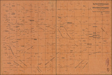
Relief map centered on the eastern part of Germany and western Czechoslovakia, from Amberg east to Krakow and from Grunberg south to Passau, in German Braille and German. A raised 1/8" dot represents cities, while a raised ring of the same size represents smaller cities and towns. Most place names are abbreviated.
After the success of Marburg University ophthalmologist Alfred Bielschowsky's courses in 1915, The Marburger Blindenstudienanstalt (or Deutsche Blindenstudienanstalt) was founded in 1916 for the many returning soldiers who were left partially or completely blind from shrapnel or the large-scale use of chemical weapons in World War I.
Condition Description
Folding map bound with tape on verso. Library stamp at lower right.
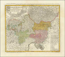
![(Austria) Charte der Österreichischen Monarchie, nach den letzten Friedensschlüssen berichtigt. [Map of the Austrian Monarchy, corrected according to the latest peace treaties.]](https://storage.googleapis.com/raremaps/img/small/102892.jpg)
![(Hungarian Military Games) Szegvar | A Felek Helyzete és . . . [Szegvar | Positions of the Armies. .]](https://storage.googleapis.com/raremaps/img/small/89265.jpg)