|
||

|

|
|

|
Stock# 80590
Description
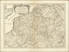
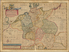
A fine early map of the Zijpe region of North Holland, which appeared in Petrus Kaerius's (Peter Van der Keere) Germaniae Inferior id est, XVII Provinciarum ejus novae et exactae Tabulae Geographicae, first published in Amsterdam in 1617.
Van der Keere's atlas was the first separately published atlas of the Low Countries.
Condition Description
Very small, thin (~¼ inch) paper separation in the right half of the map.
![[Walcheren / Middelburg] Kaart van het Eiland Walcheren. . .](https://storage.googleapis.com/raremaps/img/small/78499.jpg)