This item has been sold, but you can enter your email address to be notified if another example becomes available.


|
||

|

|
|

|
Stock# 7036
Description
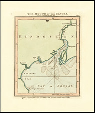
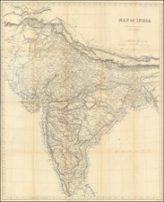
Gorgelous large format map of the Indian Subcontinent and Bay of Bengal, colored by provinces. Shows kingdoms, provinces, towns, rivers, lakes, bays, islands, etc. Attractive full color example. Extends to Pegu and the tip of Sumatra in the east, the Himalayas and Tibet in the North and the Maladives and Persia. Highly detailed. From John Blair's Chronology and History of the World, first published in 1754.
![[Caspian Sea / Kamtchatka] Geographica Nova ex Oriente gratiosissima, duabus tabulis specialissimis contenta, quaram una Mare Caspium. . .](https://storage.googleapis.com/raremaps/img/small/89998.jpg)
![[ Postal Map of India ] India Shewing The Post Roads And Dawk Stations By James Wyld . . .](https://storage.googleapis.com/raremaps/img/small/99685.jpg)