|
||

|

|
|

|
Stock# 66882
Description
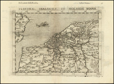
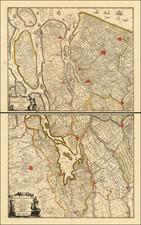
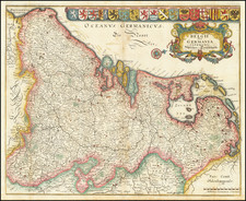
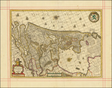
Antique Map of Friesland, in the Netherlands
Fine old color example of this rare Halma map of Friesland.
Detailed map of Friesland, Groningen and Drenthe, the northeast provinces of the Netherlands, with armorial cartouche, scale of miles, vignette of the 'Steenen Man' near Harlingen and an inset map of the islands of Vlieland, Terschelling, Ameland and Schiermonnikoog.
Reference
Shirley, R.W. (BI 1650-1750) Schenk 1, state 2.