This item has been sold, but you can enter your email address to be notified if another example becomes available.


|
||

|

|
|

|
Stock# 61853
Description
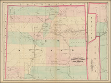
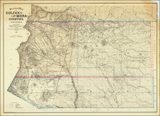
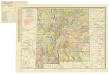
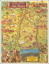
Highly detailed map of what is now Bandelier National Monument bounded on the northwest by the Jemez Mountains and on the east and south by the Rio Grande.
On the northeast are Espanola and Santa Clara Pueblo.
This map shows topography, names all the canyons, and locates the archeological sites. The map locates cliff houses, stone communal houses, defensive outposts of stone, single room, pitfalls, shrines, reservoirs, passable wagon roads, and trails.
Edgar L. Hewett, archaeologist ; K.M. Chapman, draftsman.
Condition Description
Minor discoloration at folds.