This item has been sold, but you can enter your email address to be notified if another example becomes available.


|
||

|

|
|

|
Stock# 60954
Description
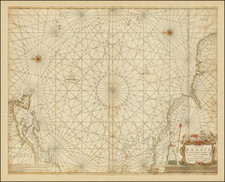
Antique Map of the Atlantic Ocean / Triangle Trade
Detailed map of the Atlantic and contiguous coast lines of North America, the Caribbean, Europe and Africa.
The map highlights the area covered by the so-called Triangle Trade, Europe to the "Slave Coast" of Africa (named on the map), then to the Caribbean where slaves were traded for various products produced in the Caribbean and finally to Europe, where the American and Caribbean commodities were sold to the European market, ending the triangle.
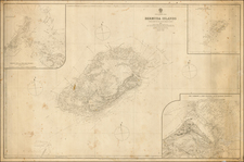
![[ Canary Islands and Madeira Islands ] Isola di Canarie. . [with] Isola Madeira](https://storage.googleapis.com/raremaps/img/small/98646.jpg)