


|
||

|

|
|

|
Rare separately issued example of Bianconi's map of Guatemala, printed in Paris by Imp. Chaix.
Guatemala is divided in 22 Departments and departmental capitals,cities, towns, important haciendas, several types of roads, completed railways and railways under construction.
A smaller map illustrates the telegraph lines within Guatemala.
Bianconi prepared a number of maps of South American countries, including Colombia & Equador (1887) Bolivia (1887 and 1889), Venezuela (1889), Chile (1895), Uruguay and Argentina.
A later edition of the map was published by Bradley in Philadelphia in 1892.
The map was issued during the government of Manuel Lisandro Barillas. General Manuel Lisandro Barillas Bercián became interim president of Guatemala after the death of President Justo Rufino Barrios in the Battle of Chalchuapa in El Salvador in April 1885 and after the resignation of first designate Alejandro Manuel Sinibaldi Castro.
Instead of calling for elections, Barillas Bercián had himself declared president on March 16 1886 and remained in office until 1892.
Rarity
We locate a two examples of the map (Universidad Francisco Marroquín and Bibliotheque National de France)
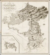
![(Colombia and Panama) Quarta Hoja que Comprehende las Costas de la Provincia de Cartagena, Golfo Del Darien y Provincio de Porto Velo con el Golfo de Panama y Archipelago de las Perlas. Madrid Año 1817. [Fourth Sheet that Covers the Coasts of the Province of Cartagena, Gulf of Darien and Province of Porto Bello with the Gulf of Panama and Archipelago of the Pearls. Madrid, Year 1817.]](https://storage.googleapis.com/raremaps/img/small/95581.jpg)
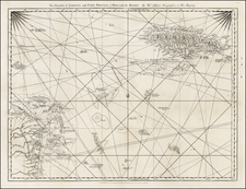
![[ Columbus's 4 Voyages to the New World ] Carte Des Indes Occidentales pour servir aux Voyagen de Christophe Colomb.](https://storage.googleapis.com/raremaps/img/small/103375.jpg)