|
||

|

|
|

|
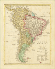
Stock# 57868
Description
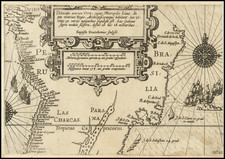
Scarce French sea chart of the South Atlantic, published by Aime Robiquet.
The chart covers most of South America, the southern part of Africa and insets of Sainte Helene, the Island of Trinidad, the Island of Ascension and the area around Georgetown, Ascension.
The chart is annotated to show the tracks of a trip around Cape Horn.