The item illustrated and described below is sold, but we
have another example in stock. To view the example which
is currently being offered for sale, click the
"View Details" button below.


|
||

|

|
|

|
Stock# 5719
Description
One of the best regional maps of Western Canada issued during the period in a commercial atlas. The details in British Columbia, Northwest Territory, Alberta, and Athabasca are excellent. Shows forts, mountains, rivers, islands, lakes, roads, and a host of other Decorative Piano Key border. From Johnston's Handy Royal Atlas, one of the most popular English language atlases of the 2nd half of the 19th Century.
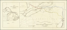
![[Route of the 1938 Westward Northwest Passage Cover] Map of the Northwest Territories 1929](https://storage.googleapis.com/raremaps/img/small/60046.jpg)
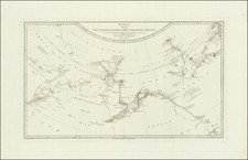
![A Map of Lewis and Clark's Track Across the Western Portion of North America, from the Mississippi to the Pacific Ocean. By Order of the Executive of the United States in 1804, 5 & 6. . . . [Complete with 3 volumes of Text: Travels to the Source of the Missouri River and Across the American Continent to the Pacific Ocean. Performed by Order of the Government of the United States, in the Years 1804, 1805, and 1806].](https://storage.googleapis.com/raremaps/img/small/81775.jpg)
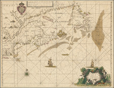
![[Anchorage, Valdez and Prince William Sound] Cote Nord-Ouest De L'Amerique Reconnue par le Cape. Vancouver VIe. Partie . . .](https://storage.googleapis.com/raremaps/img/small/92676.jpg)