This item has been sold, but you can enter your email address to be notified if another example becomes available.

Stock# 5648
Description
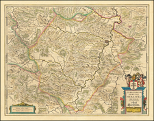
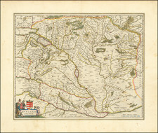
Rare early regional map in English, colored by provinces. This map appeared in Modern's rare Atlas Terestris, first published in 1687.
Robert Morden Biography
Robert Morden (d. 1703) was a British map and globe maker. Little is known about his early life, although he was most likely apprenticed to Joseph Moxon. By 1671, Morden was working from the sign of the Atlas on Cornhill, the same address out of which Moxon had previously worked. Most famous for his English county maps, his geography texts, and his wall maps, Morden entered into many partnerships during his career, usually to finance larger publishing projects.
![[ Glatz - 7 Years War ] Des neuen Kriegs Theaters 22. Supplement Plan der Belagerung der Stace und Vestung Glaz...](https://storage.googleapis.com/raremaps/img/small/99034.jpg)
![[ Holy Roman Empire ] S. Imperium Romano-Germanicum oder Teutschlenad mit Seinen Angrantzenden Konigreichen und Provincien,...](https://storage.googleapis.com/raremaps/img/small/98433.jpg)