|
||

|

|
|

|
Scarce map of the Northern part of Africa, colored by Colonies.
The map includes many conjectural rivers and unexplored regions. Large inset of Abyssinia
Shows the following routes of modern African Explorers:
- Oudeny, Denham, Clapperton 1822-24
- Caillie 1827-28
- Richardson, Barth, Overweg 1850-54
- Henri Duoeyrier 1859-61
- Guilaume Lejean 1860-63
- Gerhard Rohlfs 1861-72
- Les Freres Poncet 1860-68
- Samuel Baker 1862-64
- Schweinefurth 1869-70
- Mage 1863-64
- Nachtigal 1870 1874
This is the first time we have seen this map.
Andre Hubert Brué was a French geographer and cartographer. Born in Paris, he served in the French Navy, joining the Baudin expedition to the Pacific (1800-1804). After his sea service, Brué applied his navigation and charting skills to creating finely-crafted maps, which were renowned for their crisp engraving and accuracy. He drew directly on the copper of the plate, creating what he called encyprotypes. He is best known for the Atlas universal de géographie physique, politique, ancienne et moderne.
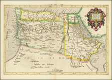
![[With Early Annotations!] Nuova et Copiosa Descrittione Di Tutto L'Egitto Pur hora de Paulo Forlani Veronese intagliata in Venetia lanno 1566](https://storage.googleapis.com/raremaps/img/small/75556.jpg)
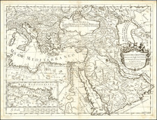
![Africae II Tab [Shows Malta, Sicily and Sardiia]](https://storage.googleapis.com/raremaps/img/small/78022.jpg)