
This item has been sold, but you can enter your email address to be notified if another example becomes available.


|
||

|

|
|

|
Stock# 47346
Description
Handsome hand-colored engraved map of continental Europe from the time of the Napoleonic Wars.
The map was published in 1805, during the War of the Third Coalition, which was attempting to arrest Napoleon's rapid advance into Europe. The map was issued in London in November, after Britain's overwhelming victory at the Battle of Trafalgar, so it must have reflected some optimism on the part of the English. England itself is left out of the scope of the war, having reestablished naval dominance that would never again be challenged by France.
The map also features many political boundaries in Germany, which would, in 1806, be consolidated by Napoleon into the Confederation of the Rhine.
Condition Description
Old folds. Small amount of discoloration along top edge.
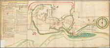
![[6 Sheet Map] Theatre de la Guerre en Savoye et en Piemont -- Le Dauphine, La Bresse Partie du Lionnois et de La Provence](https://storage.googleapis.com/raremaps/img/small/62561.jpg)
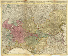
![[ Bern, Switzerland ] Inclytae Urbis et Ditionis Bernensis cum locis finitimis Tabula Geographica et Hydrographica noviter correcta](https://storage.googleapis.com/raremaps/img/small/99812.jpg)