


|
||

|

|
|

|
Scarce 18th Century map of Virginia, Maryland and Delaware, which appeared in the London edition of Jedidiah Morse's American Geography, published by John Stockdale in 1794.
Stockdale's maps are among the earliest detailed maps of the individual states and smaller regions of the newly formed United States to appear on the market, pre-dating the maps of Matthew Carey in 1795 and John Reid in 1796.
The map provides a finely detailed treatment of the roads, rivers and towns in the three states and includes a reference to Indiana, in modern day West Virginia and Southern Ohio. Curiously, there is no sign of the future Washington DC or District of Columbia.
The name Indiana begins with the Indiana Land Company. In 1768, a treaty was negotiated between several of the British colonies and the Iroquois in the Ohio Valley. The Iroquois sold their territorial claims to the colonies as part of the treaty. The company created to hold that claim was named the Indiana Land Company, the first recorded use of the word Indiana.
The Indiana Land Company claim was disputed by the colony of Virginia, which did not participate in the treaty because it already laid claim to the land through its royal charter which established the Virginia Colony. In 1773, the territory of Indiana was brought under the administration of Province of Quebec to appease its French population. The Quebec Act was listed as one of the Intolerable Acts the Thirteen Colonies cited as a reason for the outbreak of the American Revolutionary War.
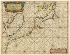
![Map of the States of North & South Carolina [Large Charleston Inset]](https://storage.googleapis.com/raremaps/img/small/91846.jpg)
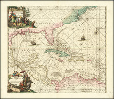
![(Florida-Georgia) Wie der Franzosen Oberster eine Seul / daran das Wapen dess Königes auss Franckreich / aussrichten lassen. [How the French commander had a seal made, on which the coat of arms of the King of France is displayed.]](https://storage.googleapis.com/raremaps/img/small/95828.jpg)