This item has been sold, but you can enter your email address to be notified if another example becomes available.


|
||

|

|
|

|
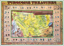
Stock# 4008
Description
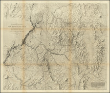
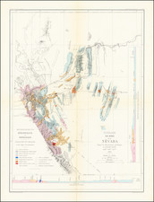
Detailed report of the region bounded by the Arkansas River, Llano Estacado and extending west to the fork of the Gila Rier and Rio San Pedro, showing Fort Tucscon and the route south to Arispe, along with the route from Fort Pueblo to Taos and Santa Fe and then south through Fort San Eleazario. The routes of the Spanish Santa Fe Expedition and Military Routes are shown, along with Kearney's Route and the Wagon Road to Santa Fe. A detailed extract from Disturnell, from Gray's Report on the Mexican Boundary Survey. Minor waterspot, else a very nice example.