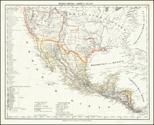
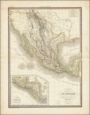
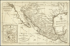
|
||

|

|
|

|
Large format blue print map of the Santa Fe, Prescott and Phoenix Railway, Subsidiary and Projected Lines, published for internal use by engineers for the Santa Fe Railroad.
The map provides a nice snapshot of the mining boom in Central Arizona at the beginning Century, showing a number of different mining regions along with many early Arizona boom towns, a number of which have disappeared from modern maps.
The Santa Fe, Prescott and Phoenix Railway was chartered on May 27, 1891. Construction commenced on August 17, 1892, beginning at its connection in Ash Fork, Arizona with the Atlantic & Pacific Railroad. By April 1893, trains were operating between Ash Fork and Prescott. On March 13, 1895 the line ran all the way to Phoenix. On June 30, 1899 the SFP&P began operating the Prescott and Eastern Railroad, which ran between Entro (near Prescott) to Mayer.
We locate no other examples of the map.
![[ Nevada ] Itineraire Aux Mines de la Nevada D'Apres les determinations geodesiques de E. Guillemin-Taraye Septbre.-Octbre. -Novbre. 1864](https://storage.googleapis.com/raremaps/img/small/71596.jpg)
![[Austins Colony] Mexico & Guatemala](https://storage.googleapis.com/raremaps/img/small/105610.jpg)