This item has been sold, but you can enter your email address to be notified if another example becomes available.


|
||

|

|
|

|
Stock# 21610a
Description
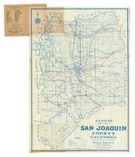
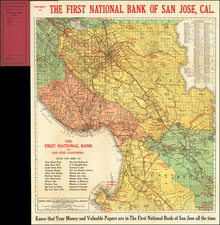
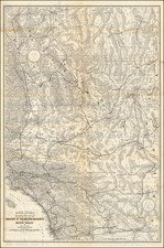
Scare irrigation district and road map of the Imperial Valley.
One side of the map is an "Irrigation District and Road Map, Imperial Valley, published by A.G. Thurston, El Centro and Pasadena." On the verso is "Imperial Valley Tract Map, Best Edition, published by A.G. Thurston, El Centro and Pasadena.'' On the verso is Both maps "drawn by Geo. H. Rock." LInk here for verso map:
Fascinating early look at the Imperial Valley and its then existing water distribution and irrigation systems, which would allow the region to become a booming agricultural region. Perhaps most notable are the wide channels of the New River and Alamo River, draining the Salton Sea from its southern edge toward Mexico.
![[Southwest Riverside County] Elsinore Quadrangle](https://storage.googleapis.com/raremaps/img/small/83490.jpg)