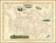
|
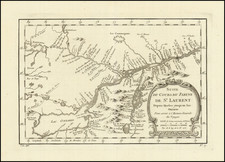
||

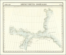
|

|
|

|
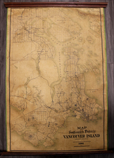
Rare separately issued Chart of the region centered on the Strait of Juan De Fuca and showing the region north to Nanoose Bay and Burrard's Bay in the Gulf of Georgia and South to include of of Puget Sound and Gray's Harbor. Highly detailed map, showing lighthouses, islands, harbors, points, soundings, rivers, towns, etc. and including sailing details and directions. This example was almost certainly a separately issued working chart on thick paper, which includes a stamp of W.W. Pumphrey, Booksellers & Stationser, Seattle, Washington. Among other things, Pumphrey was the publisher of one of the best large format separately issued maps of the period. This example has been laid on fresh linen and is well intact, although there are some edge tears just e entering the image and a tiny bit of loss. Still a nice example of a rare chart of the NW Washington, Vancouver and Puget Sound.

![[Untitled Map of The Atlantic Ocean, Europe, Africa, the Middle East, and Eastern Canada]](https://storage.googleapis.com/raremaps/img/small/89582.jpg)