The item illustrated and described below is sold, but we
have another example in stock. To view the example which
is currently being offered for sale, click the
"View Details" button below.


|
||

|

|
|

|
Stock# 17655
Description
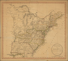
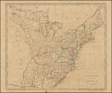
Detailed and fascinating map detailing states and Indian lands east of the Mississippi River from northern Florida to Canada.
Tracts of land in west of the Ohio River are labeled
Seven Ranges, Army Lands, Ohio Company, and Donation Lands from the Commonwealth of Virginia, Illinois Company, Wabash Company, New Jersey Company and Col. Simmes. South of the Ohio River, in present-day West Virginia, is a small region named Indiana.
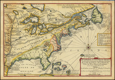
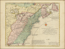
The Twenty Leagues Line is drawn in the coastal Atlantic. Georgia's western boundary is the Mississippi River. Various Indian tribes are indicated throughout.

![A New and Exact Map of the Dominions of the King of Great Britain on ye Continent of North America . . . [Beaver map]](https://storage.googleapis.com/raremaps/img/small/101277.jpg)