
The item illustrated and described below is sold, but we
have another example in stock. To view the example which
is currently being offered for sale, click the
"View Details" button below.
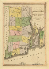
1814 Mathew Carey
$ 475.00


|
||

|

|
|

|
Stock# 14225
Description
Rare 1809 edition of this important early map of Rhode Island, from the first American Atlas.
Some towns, travel routes, topographical detail, and waterways shown. Carey published his American Atlas in 1795, which became the first folio atlas published in America. He issued later General Atlases in 1796 and after. In 1814, he became the first This is the earliest obtainable map of Rhode Island published in the US. Minor tear in the lower margin. Backed with rice paper. A nice wide margined example, which has never been folded.
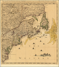
![[Right sheet only of: A New Chart of America Florida to New York with the Principal Harbours on a Large Scale, Drawn from the latest Authorities, by Robt Blachford. 1807.]](https://storage.googleapis.com/raremaps/img/small/55819.jpg)
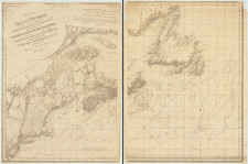
![[ Large Cape Cod Inset ] The River & Gulf of St. Lawrence, Newfoundland, Nova Scotia, and The Banks Adjacent, From The English Admiralty & French Marine Surveys. . . . 1844. Additions To 1857.](https://storage.googleapis.com/raremaps/img/small/85637.jpg)
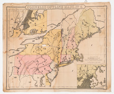
![Dominia Anglorum in America Septentrionali Specialibus Mappis Londini primum a Mollio… [4 maps--New England; Chesapeake, Georgia, Carolinas & Florida; and Nova Scotia…]](https://storage.googleapis.com/raremaps/img/small/60331.jpg)