
This item has been sold, but you can enter your email address to be notified if another example becomes available.


|
||

|

|
|

|
Stock# 102729
Description
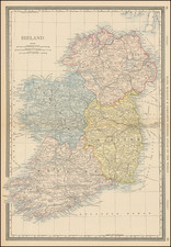
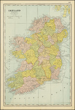
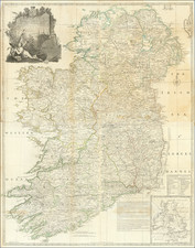
Maximum Ireland -- And A Very Early North At The Top Projection of the Emerald Isle
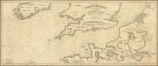
A beautifully detailed 2-sheet map of Ireland from an early edition of the Mercator-Hondius Atlas Sive Cosmographia.
Engraved in Amsterdam in 1595 and signed by Gerard Mercator, this is the largest and most detailed map of Ireland published to date, and, curiously, one of the earliest maps of Ireland published with north at the top (the others being Lafreri school maps and Speed's map of Ireland, first published in 1612).
Fine dark image with a sea monster and sailing ship.
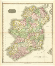
![[ Ireland ] Hiberniae Regnum tam in praecipuas Ultoniae, Connaciae, Lageniae, et Momoniae. . .](https://storage.googleapis.com/raremaps/img/small/78023.jpg)