


|
||

|

|
|

|
This colorful, color-printed birds-eye view of Interlaken, the Bernese Oberland, and the adjacent peaks, including the Jungfrau, Monch, and Eiger, was executed by L. Koller around 1950. The artwork encapsulates the breathtaking landscapes of Switzerland, with a specific focus on the Wengernalp and Jungfrau Railways, offering an illustrative glimpse into the scenic marvels accessible by these rail lines.
During the early 20th century, Switzerland was renowned for its pioneering achievements in railway engineering, particularly in the development of mountain railways. The establishment of the Wengernalp and Jungfrau Railways represented a significant technological and logistical accomplishment, enabling access to some of Europe's highest altitudes. These railways not only facilitated tourism but also showcased human ingenuity's ability to harmonize with the natural grandeur of the Swiss Alps. This period marked a burgeoning interest in alpine exploration and the leisure potential of mountainous regions, positioning Switzerland at the forefront of this transformative era in travel.
L. Koller's depiction is notable for its vibrant portrayal of the landscape, capturing the interplay of natural light and the rugged topography of the region. Through the use of color and perspective, Koller conveys the awe-inspiring experience of traversing the Bernese Oberland by rail, emphasizing the dramatic elevation changes, the engineering marvels of the railway tracks, and the panoramic vistas that greet travelers. The artwork serves as a visual testament to the allure of the Swiss Alps, inviting viewers to marvel at the pristine beauty and the pioneering spirit that defined Swiss railway travel in the mid-20th century.
Dating the Map
Rumsey dates the map to 1940. Based on the English-language marketing copy on the back we would propose a date shortly after World War II as being more likely.
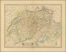
![[Switzerland] Charte de la Suisse, de la Rhetie, ou des Grisons, de la Valtelin, du Valay, & autres Seigneuries Voisines Exactement dressee sur les Lieux par Gaspr Baudouin Ingenieur Militaire & Capitaine de l'artillerie du Roy . . . en L'Estat de Millan](https://storage.googleapis.com/raremaps/img/small/91530.jpg)
![[Rhine River Region -- Basle to Strassbourg]](https://storage.googleapis.com/raremaps/img/small/75325.jpg)
![[Course of the Rhine River] Nova Tractus Totius Rheni Oder Neue beschreibung des Rhein-Strom](https://storage.googleapis.com/raremaps/img/small/58670.jpg)
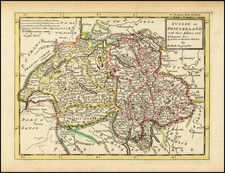
![Carte de Suisse ou sont les Cantos de Zurich, Berne, Lucerne, Uri, Schwitz, Underwald, Zug, Glaris, Basle, Fribourg, Souleurre, Schaffouse, et. Appenzel . . . [Augmentee en 1759 Par Phil. Buache]](https://storage.googleapis.com/raremaps/img/small/93975.jpg)