
This item has been sold, but you can enter your email address to be notified if another example becomes available.


|
||

|

|
|

|
Stock# 102116
Description
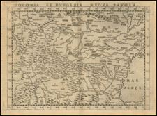
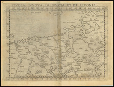
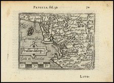
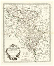
Rare separately published map of the Kingdom of Prussia, including large portions of Poland, Lithuania and Kaliningrad.
At the bottom of the map, Beaurain notes:
We find marked on this map the Werder of Dantzig, on the left bank of the Wistula, between Dantzig and Dirschaw; that of Marienburg which is enclosed between the Wistule, the Nogat and the Gulf of Dantrig that of Elbing located between the Lake and the River Deforge, the Nogat, and the Gulf of Dantzig. These three Cantons or small Countries were dried up by means of a large number of Canals made by the hands of man, which made them very fertile . . .
Condition Description
Minor foxing and one spot on map as shown.
![Holsatiae Descriptio [with] Rugiae Usedomiae et Iulinae Wandalicarum insularum Vera descrtiptio 1584](https://storage.googleapis.com/raremaps/img/small/83746.jpg)
![[ Holy Roman Empire, Poland, Baltic, etc. ] Germania VI Nova Tabula (First state!)](https://storage.googleapis.com/raremaps/img/small/94645.jpg)