
Search
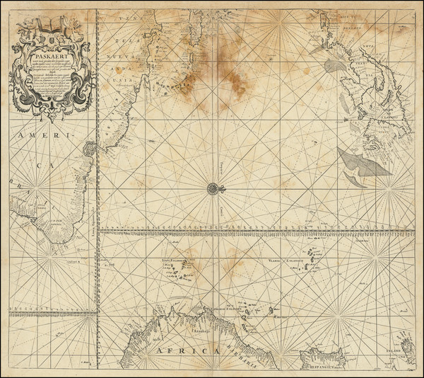
Place/Date:
Amsterdam / 1680
Size:
23.5 x 20 inches
Condition:
Fair
Stock#:
94147
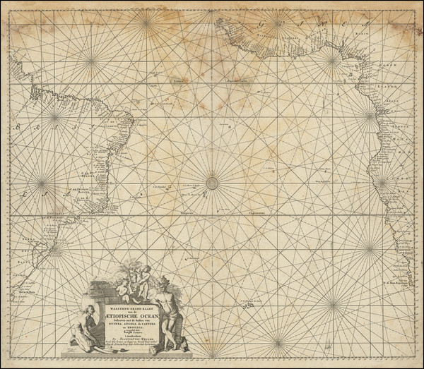
Place/Date:
Amsterdam / 1710 circa
Size:
23.75 x 20.25 inches
Condition:
Fair
Stock#:
94148
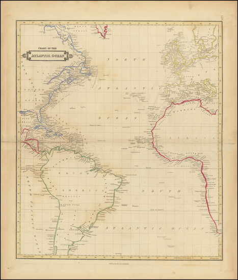
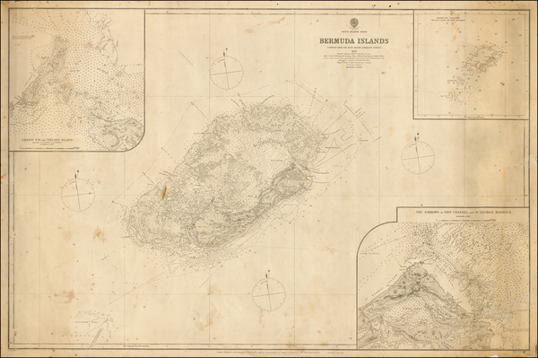
Place/Date:
Edinburgh / 1838
Size:
20 x 17 inches
Condition:
VG
Stock#:
98742
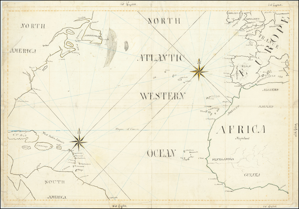
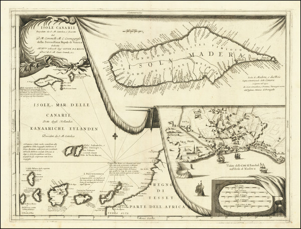
Place/Date:
n.p. / 1810 circa
Size:
28 x 19 inches
Condition:
VG
Stock#:
65187
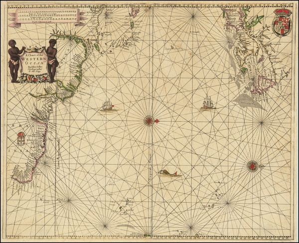
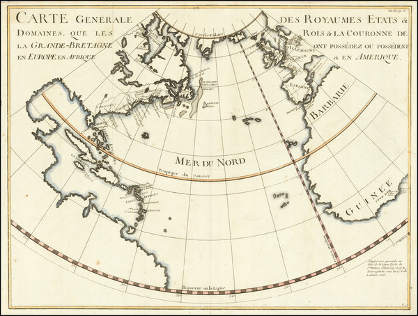
Place/Date:
London / 1881
Size:
39.5 x 26 inches
Condition:
VG
Stock#:
41592
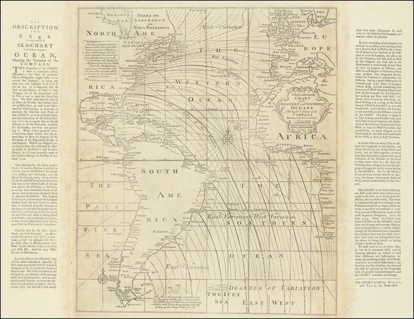
1881 antique British Admiralty map showing the Atlantic Ocean.
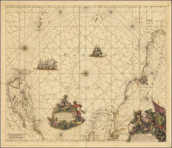
Place/Date:
Venice / 1690 circa
Size:
24 x 18 inches
Condition:
VG
Stock#:
98646
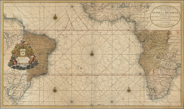
Coronelli's 1690 antique map showing the Atlantic Ocean.

Place/Date:
Amsterdam / 1650 circa
Size:
22 x 17.5 inches
Condition:
VG+
Stock#:
73997
Jansson's 1650 rare map showing the Atlantic Ocean.
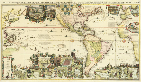
Place/Date:
Amsterdam / 1726 circa - 1755
Size:
39 x 23 inches
Condition:
VG+
Stock#:
99819
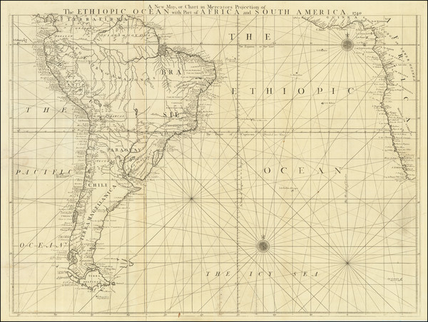
Place/Date:
London / 1763 circa
Size:
29.25 x 22.75 inches (including marginal text blocks)
Condition:
VG+
Stock#:
98400
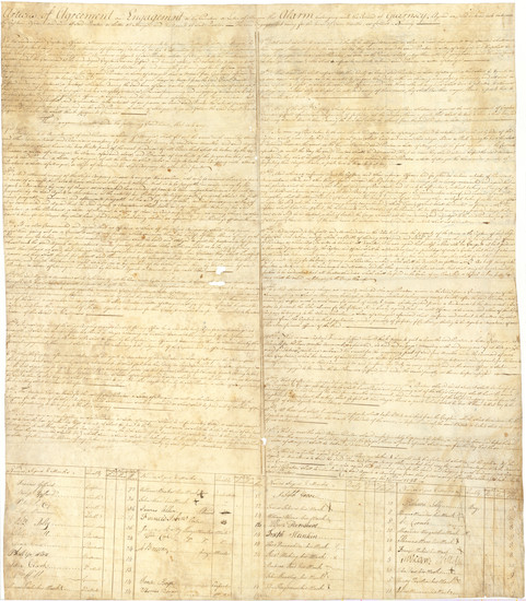
Place/Date:
Guernsey, UK / 1798 (June 24)
Size:
28 x 32 inches
Condition:
VG
Stock#:
100233
Place/Date:
Amsterdam / 1675
Size:
22.5 x 19 inches
Condition:
VG+
Stock#:
73515
De Wit's 1675 rare map showing the Atlantic Ocean.
Place/Date:
London / 1760 circa
Size:
31.5 x 24.5 inches
Condition:
VG
Stock#:
80210
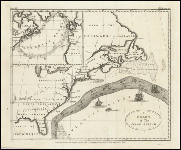
Place/Date:
London / 1806
Size:
8.25 x 7 inches including text
Condition:
VG+
Stock#:
102123
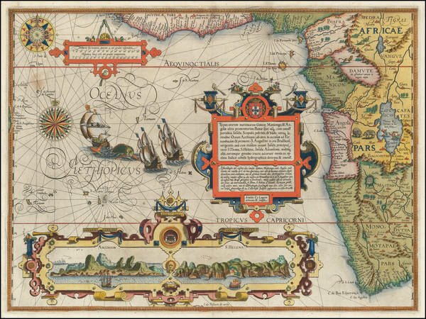
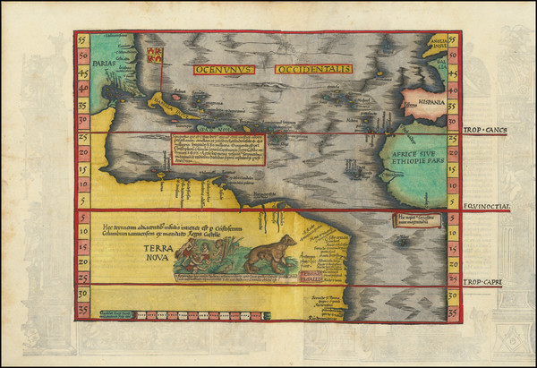
Place/Date:
Amsterdam / 1596
Size:
21 x 15.5 inches
Condition:
VG+
Stock#:
93123
Place/Date:
London / 1674
Size:
21 x 17 inches
Condition:
VG
Stock#:
80520
Place/Date:
Amsterdam / 1719
Size:
56 x 32 inches
Condition:
VG+
Stock#:
83666
Place/Date:
Padua (Venice?) / 1570 (circa 1575)
Size:
8 x 7 inches
Condition:
VG
Stock#:
89582
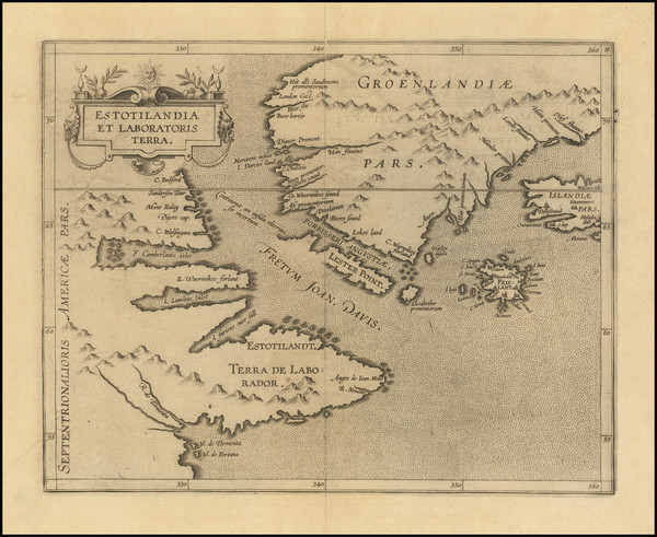
Place/Date:
Louvain / 1597
Size:
11.5 x 9 inches
Condition:
VG
Stock#:
72220
Wytfliet's 1597 original map showing the Atlantic Ocean.
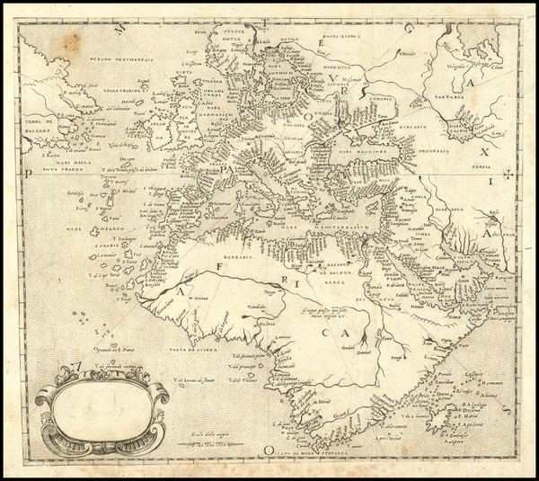
Place/Date:
Lyon / 1541
Size:
16.5 x 11 inches
Condition:
VG+
Stock#:
102935
Place/Date:
Nuremberg / 1750 circa
Size:
21 x 16 inches
Condition:
VG
Stock#:
81681