
Search
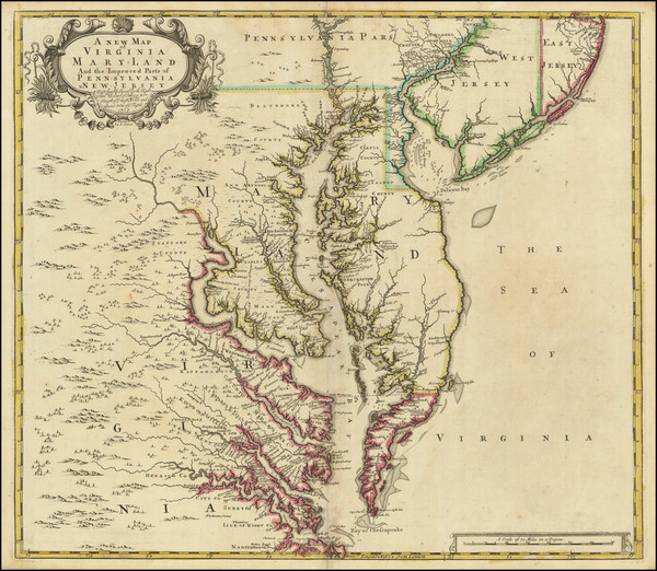
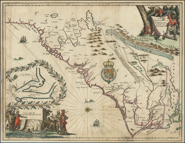
Place/Date:
London / 1719
Size:
22 x 19.5 inches
Condition:
VG
Stock#:
95619
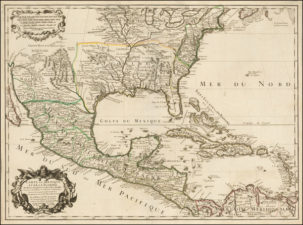
Senex's 1719 antique map showing the Southeast.
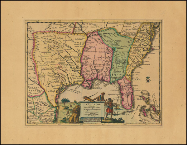
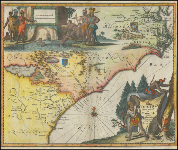
Place/Date:
Paris / 1718
Size:
25.5 x 19 inches
Condition:
VG+
Stock#:
59797
1718 rare De L'Isle map showing the Southeast.
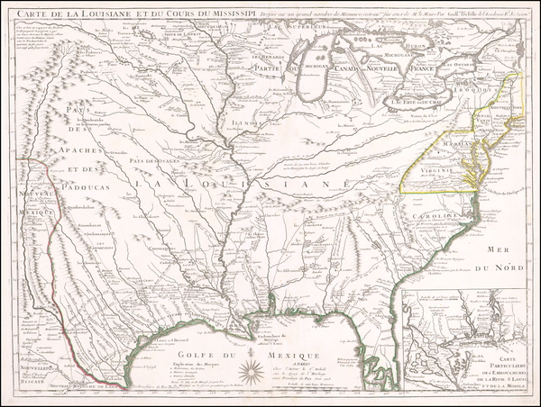
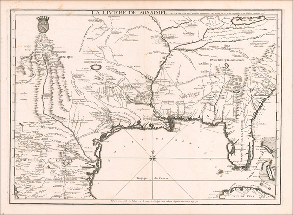
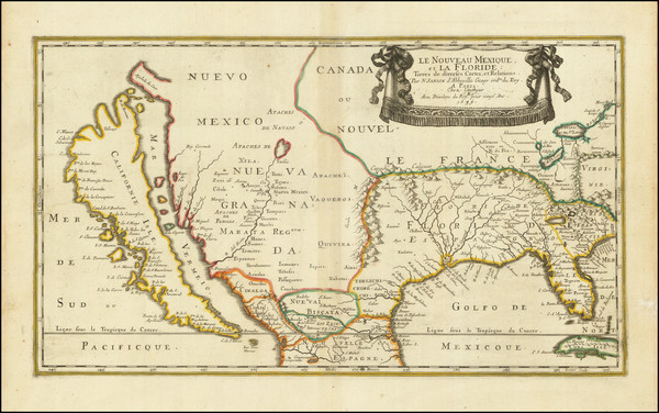
Place/Date:
Paris / 1718
Size:
25 x 18.5 inches
Condition:
VG+
Stock#:
61193
1718 Antique Map of the Mississippi River Valley During French Colonial Era
Place/Date:
Nuremberg / 1718
Size:
16.5 x 12.5 inches
Condition:
VG
Stock#:
72622
Place/Date:
Paris / 1715
Size:
25 x 18 inches
Condition:
VG
Stock#:
59953
Antique map showing the Southeast by de Fer, 1715.
Place/Date:
Amsterdam / 1710
Size:
15 x 10.5 inches
Condition:
VG
Stock#:
99070
Place/Date:
London / 1708
Size:
10 x 7 inches
Condition:
VG+
Stock#:
101272
Place/Date:
Paris / 1705
Size:
13 x 8.5 inches
Condition:
VG+
Stock#:
90921
Place/Date:
Paris / 1703
Size:
25.5 x 19 inches
Condition:
VG+
Stock#:
47103
De L'Isle's 1703 antique map showing the Southeast.
Place/Date:
London / 1702
Size:
40 x 23.5 inches
Condition:
VG+
Stock#:
98110
Place/Date:
Amsterdam / 1696
Size:
23 x 18.5 inches
Condition:
Good
Stock#:
75875
Place/Date:
Amsterdam / 1696
Size:
18.5 x 22 inches
Condition:
VG
Stock#:
92254

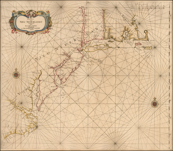
Place/Date:
Amsterdam / 1695 circa
Size:
39 x 32 inches
Condition:
VG
Stock#:
46848
17th Century Dutch Sea Chart on Vellum
Place/Date:
Amsterdam / 1695 circa
Size:
23 x 20 inches
Condition:
VG
Stock#:
47255
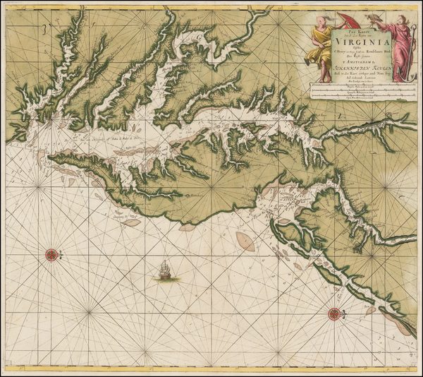
1695 original Van Keulen map showing the Southeast.
Place/Date:
London / 1695
Size:
7.5 x 11 inches
Condition:
VG
Stock#:
98200
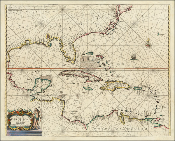
Place/Date:
Amsterdam / 1692
Size:
31.5 x 21.5 inches
Condition:
VG
Stock#:
61392mp2
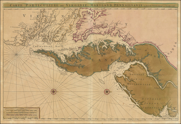
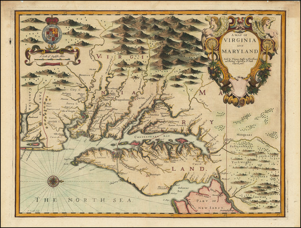
17th Century Sea Chart of The Chesapeake and Delaware Bay -- Virginia, Maryland, Delaware, New Jersey
Place/Date:
Frankfurt / 1692
Size:
3 x 2.5 inches
Condition:
VG
Stock#:
71479
Place/Date:
Frankfurt / 1692
Size:
3 x 2.5 inches
Condition:
VG
Stock#:
78112
Place/Date:
London / 1688 (1693)
Size:
5 x 5 inches
Condition:
VG+
Stock#:
43053
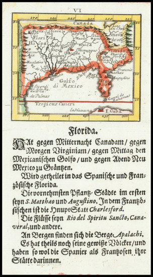
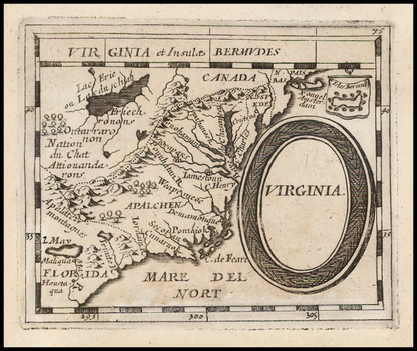
Morden's 1688 antique map showing the Southeast.
Place/Date:
Amsterdam / 1688
Size:
6.5 x 6.5 inches
Condition:
VG
Stock#:
69405
Place/Date:
Amsterdam / 1687
Size:
21 x 16 inches
Condition:
VG+
Stock#:
45480dc
1687 antique Robijn map showing the Southeast.
Place/Date:
London / 1685 (1715 ca)
Size:
21.5 x 18 inches
Condition:
VG+
Stock#:
60306op
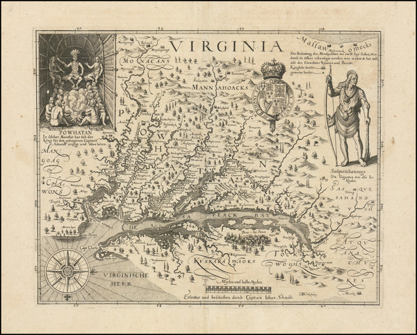
Original map showing the Southeast by Morden / Lea / Willdey / Thornton made in 1685.
Place/Date:
Paris / 1683
Size:
4.5 x 6 inches
Condition:
VG+
Stock#:
91775
Place/Date:
Paris / 1683
Size:
4.5 x 7 inches
Condition:
VG
Stock#:
96421
Place/Date:
Utrecht / 1682 circa
Size:
10 x 7 inches
Condition:
VG
Stock#:
102735
Place/Date:
Nuremberg / 1681
Size:
5 x 4 inches
Condition:
VG
Stock#:
44123
Du Val / Hoffmann's 1681 rare map showing the Southeast.
Place/Date:
London / 1676
Size:
19.5 x 15 inches
Condition:
VG
Stock#:
93641
Place/Date:
London / 1676
Size:
20 x 14.5 inches
Condition:
VG
Stock#:
95624
Place/Date:
Amsterdam / 1675
Size:
20.75 x 16 inches
Condition:
VG+
Stock#:
94717
Place/Date:
London / 1673
Size:
21.5 x 16.5 inches
Condition:
Good
Stock#:
88699
Place/Date:
London / 1671
Size:
14 x 11.5 inches
Condition:
VG
Stock#:
90277
Place/Date:
London / 1671
Size:
14 x 11.5 inches
Condition:
VG
Stock#:
101793
Place/Date:
Amsterdam / 1666
Size:
21 x 17 inches
Condition:
VG
Stock#:
66883op

Place/Date:
Paris / 1665
Size:
9 x 6.5 inches
Condition:
VG+
Stock#:
91072
Place/Date:
Paris / 1660 (1672)
Size:
5 x 4 inches
Condition:
VG+
Stock#:
78453

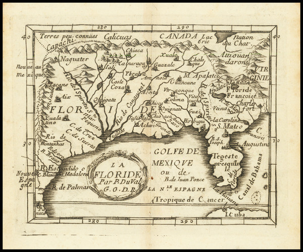
Place/Date:
Paris / 1659 (1672)
Size:
5 x 4 inches
Condition:
VG
Stock#:
56834
Original map showing the Southeast by Du Val made in 1659.
Place/Date:
Amsterdam / 1659
Size:
21.5 x 17 inches
Condition:
VG
Stock#:
81198
Place/Date:
Amsterdam / 1656 circa
Size:
25.5 x 22 inches
Condition:
VG+
Stock#:
46535
Colom's 1656 antique map showing the Southeast.
Place/Date:
Paris / 1656
Size:
21.5 x 12.5 inches
Condition:
VG
Stock#:
95763
Original map showing the Southeast by Sanson made in 1656.
Place/Date:
n.p. / 1650 circa
Size:
8 x 6.5 inches
Condition:
VG
Stock#:
44001
Antique map showing the Southeast by Anonymous, 1650.
Place/Date:
Florence / 1647 (1661)
Size:
15.5 x 19 inches
Condition:
VG+
Stock#:
102609
Place/Date:
Amsterdam / 1640 circa
Size:
20 x 15 inches
Condition:
VG
Stock#:
81554
Place/Date:
Amsterdam / 1640 circa
Size:
19.5 x 15 inches
Condition:
VG
Stock#:
91081
Place/Date:
Amsterdam / 1640
Size:
20 x 15 inches
Condition:
VG+
Stock#:
94131
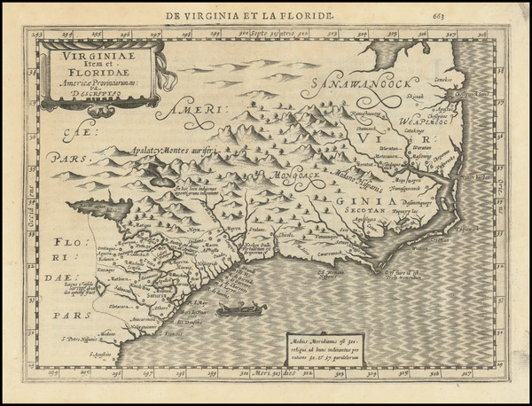
Hall's 1636 antique map showing the Southeast.
Place/Date:
Amsterdam / 1634
Size:
22 x 16.5 inches
Condition:
VG
Stock#:
75672
Place/Date:
Leiden / 1633 circa
Size:
14 x 11 inches
Condition:
VG+
Stock#:
91178
Place/Date:
Amsterdam / 1630
Size:
10 x 7.5 inches
Condition:
VG+
Stock#:
95300
Place/Date:
Frankfurt / 1627
Size:
14.5 x 11.5 inches
Condition:
VG+
Stock#:
102605
Place/Date:
Antwerp / 1625
Size:
14 x 11 inches
Condition:
VG+
Stock#:
91528