
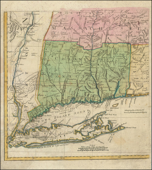
Search

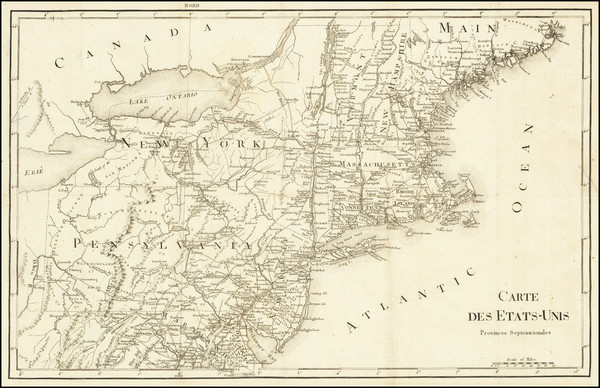
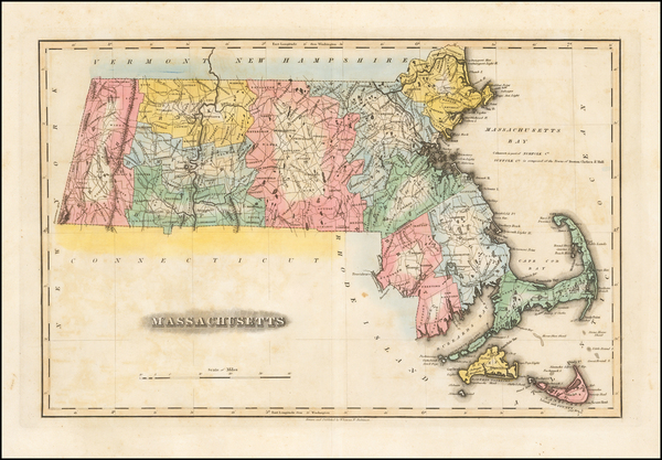
Place/Date:
New York / 1837
Size:
44 x 40 inches
Condition:
VG
Stock#:
26159
1837 antique Wilkes / Stiles, Sherman & Smith map showing New England.

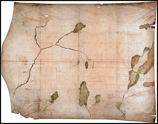
Place/Date:
n.p. / 1780 circa
Size:
6 x 7.5 inches
Condition:
VG
Stock#:
51660
Rare map showing New England by Anonymous made in 1780.
Place/Date:
New York / 1855
Size:
26 x 33.5 inches
Condition:
VG
Stock#:
0088bm
Rare map showing New England by Bachelder, 1855.

Place/Date:
Sweden / 1816
Size:
20.5 x 15 inches
Condition:
VG+
Stock#:
64709
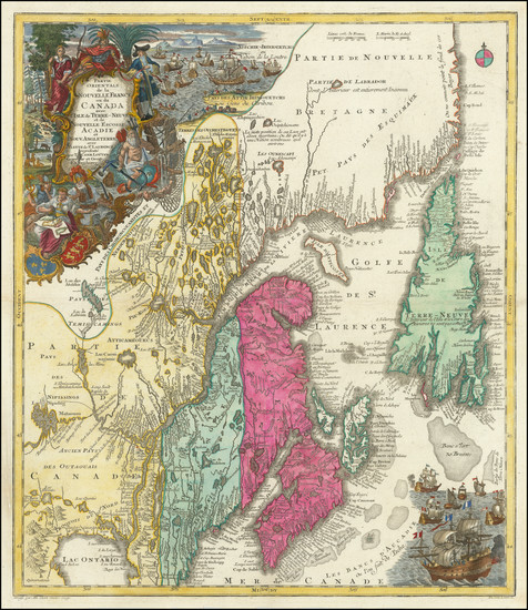
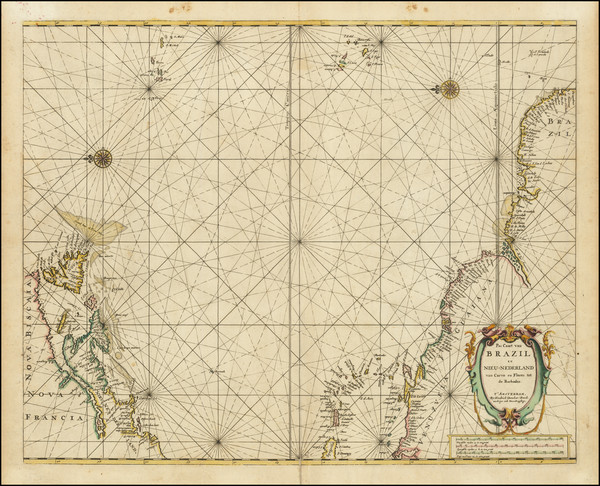
Place/Date:
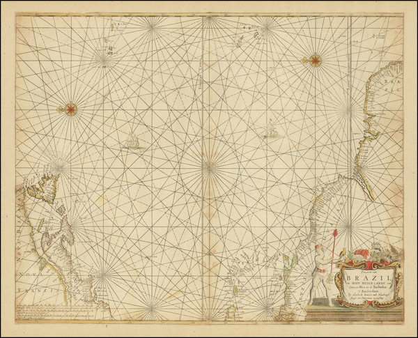
Amsterdam / 1737
Size:
20.5 x 22 inches
Condition:
Good
Stock#:
64717
Place/Date:
London / 1746
Size:
18.5 x 13.5 inches
Condition:
VG
Stock#:
55886
Antique map showing New England by Gentleman's Magazine, 1746.
Place/Date:
Paris / 1756
Size:
13.5 x 11 inches ( Whole Sheet)
Condition:
VG
Stock#:
52293op
Gautier d'Agoty's 1756 antique map showing New England.
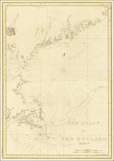
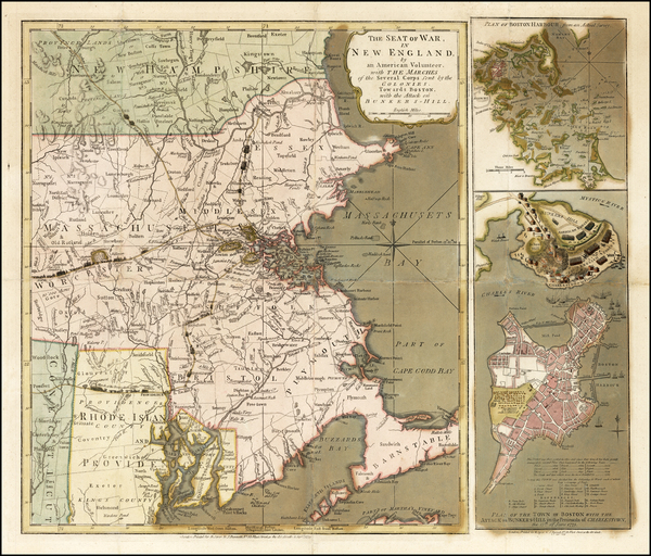
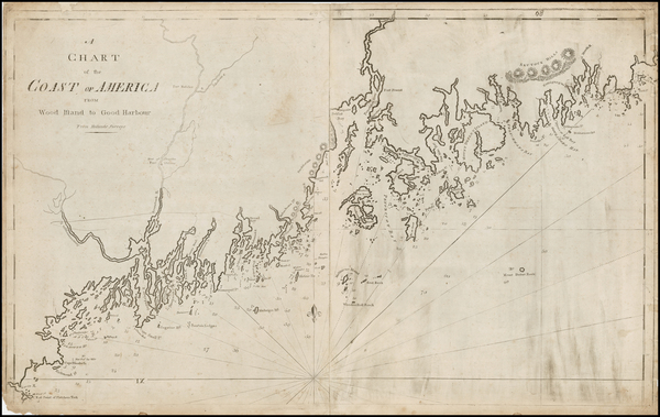
Place/Date:
London / 1776
Size:
29.5 x 41.5 inches
Condition:
VG
Stock#:
63672
1776 Antique Sea Chart of the Coast of New England
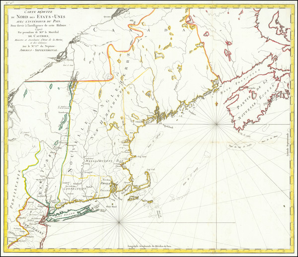
Place/Date:
Paris / 1799
Size:
20 x 13 inches
Condition:
VG
Stock#:
73326rd
Place/Date:
Augsberg / 1750 circa
Size:
19.5 x 22.5 inches
Condition:
VG
Stock#:
72901
Place/Date:
Paris / 1788
Size:
22.75 x 19.5 inches
Condition:
VG+
Stock#:
79734
Place/Date:
Baltimore / 1823
Size:
18 x 12 inches
Condition:
VG+
Stock#:
52449
Rare map showing New England by Lucas Jr. made in 1823.
Place/Date:
London / 1775
Size:
21 x 18 inches
Condition:
VG
Stock#:
37758ops
1775 original Sayer & Bennett map showing New England.
Place/Date:
Boston / 1794 (1801)
Size:
32 x 20 inches
Condition:
VG
Stock#:
26305
1794 rare Norman map showing New England.
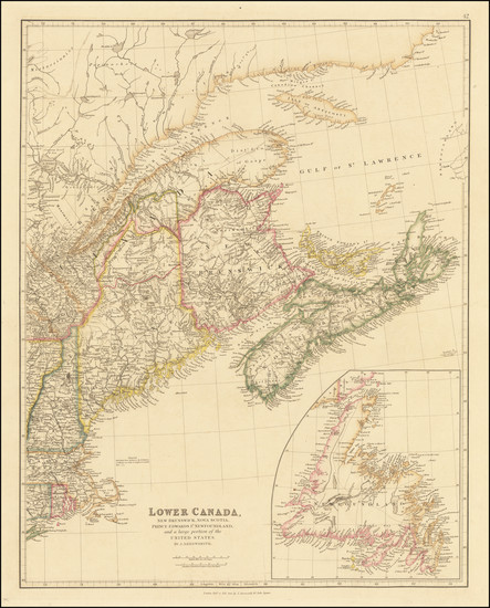
Place/Date:
London / 1842
Size:
20 x 24 inches
Condition:
VG+
Stock#:
67122

Place/Date:
Venice / 1785
Size:
16.5 x 13 inches
Condition:
VG+
Stock#:
79251
Place/Date:
London / 1755
Size:
24 x 18.5 inches
Condition:
VG
Stock#:
51712
1755 antique Jefferys map showing New England.
Place/Date:
Philadelphia / 1825
Size:
22 x 17 inches
Condition:
VG
Stock#:
81450
Place/Date:
New York / 1838
Size:
13 x 13.5 inches
Condition:
VG+
Stock#:
78205
Place/Date:
Philadelphia / 1826
Size:
21 x 17 inches
Condition:
VG+
Stock#:
81538

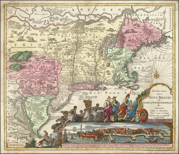
Place/Date:
Amsterdam / 1702
Size:
23 x 20.5 inches
Condition:
VG
Stock#:
33948mb
Early Sea Chart of Manhattan, Long Island, Nantucket, Martha's Vineyard, Block Island, Hudson River, New England
Place/Date:
Amsterdam / 1659
Size:
21.5 x 17 inches
Condition:
VG
Stock#:
82505
Place/Date:
London / 1830 circa
Size:
47 x 31.5 inches
Condition:
VG+
Stock#:
55819
Norie's 1830 rare map showing New England.
Place/Date:
London / 1775
Size:
24.5 x 18.5 inches
Condition:
VG
Stock#:
81952
Place/Date:
Boston / 1830 circa
Size:
10 x 8 inches
Condition:
Fair
Stock#:
84598
Place/Date:
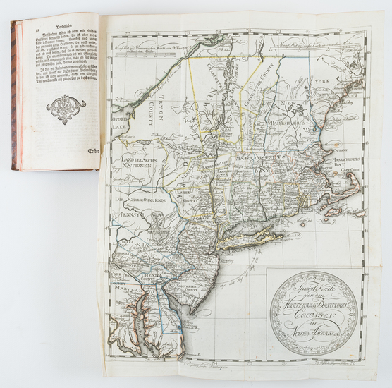
Braunschweig / 1778
Size:
11.7 x 14.8 inches (map size)
Condition:
VG
Stock#:
84175
Place/Date:
Amsterdam / 1672 circa
Size:
21.5 x 17 inches
Condition:
VG
Stock#:
84924
Place/Date:
London / 1794
Size:
26 x 19 inches
Condition:
VG
Stock#:
45177
Antique map showing New England by Laurie & Whittle, 1794.
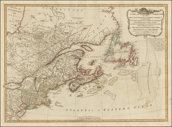
Place/Date:
London / 1780
Size:
46 x 32.3 inches (if joined)
Condition:
Good
Stock#:
69631
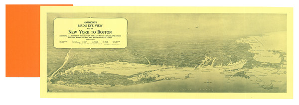
Place/Date:
Brooklyn / 1925 circa
Size:
27.75 x 9.25 inches
Condition:
VG+
Stock#:
87482
Place/Date:
Augsburg / 1757 circa
Size:
22.5 x 19.5 inches
Condition:
Good
Stock#:
63924
Original map showing New England by Lotter, 1757.
Place/Date:
London / 1793
Size:
17 x 19 inches
Condition:
VG
Stock#:
70223
Place/Date:
London / 1795
Size:
12 x 8.5 inches
Condition:
VG+
Stock#:
89227
Place/Date:
Paris / 1777
Size:
28.5 x 21 inches
Condition:
VG
Stock#:
89535
Place/Date:
New York / 1825 circa
Size:
86 x 29 inches
Condition:
VG
Stock#:
77294
Place/Date:
Leipzig / 1756
Size:
22 x 16 inches
Condition:
VG
Stock#:
91082
Place/Date:
Rome / 1856
Size:
23 x 19 inches
Condition:
VG
Stock#:
89777
Place/Date:
London / 1754
Size:
10 x 8 inches
Condition:
VG
Stock#:
90978
Place/Date:
London / 1782
Size:
14.5 x 11 inches
Condition:
VG+
Stock#:
89228
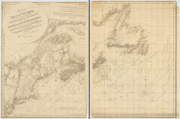
Place/Date:
Boston, Massachusetts / 1895
Size:
32.5 x 58 inches
Condition:
VG
Stock#:
90724
Place/Date:
Paris / 1738
Size:
9 x 6 inches
Condition:
VG+
Stock#:
91075
Place/Date:
Augsburg / 1777 circa
Size:
19 x 20 inches
Condition:
VG+
Stock#:
91964
1777 antique Lotter map showing New England.
Place/Date:
Venice / 1613 -1583-1606
Size:
9 x 12.5 inches
Condition:
VG
Stock#:
83534
Place/Date:
London / 1832
Size:
10 x 7.5 inches
Condition:
VG
Stock#:
91825
Place/Date:
Amsterdam / 1719
Size:
22 x 18 inches
Condition:
VG
Stock#:
61480
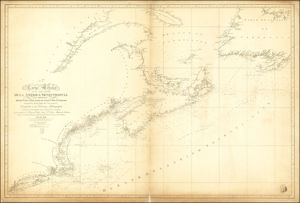
Place/Date:
Madrid / 1839
Size:
36.5 x 24.5 inches
Condition:
Good
Stock#:
62327
Place/Date:
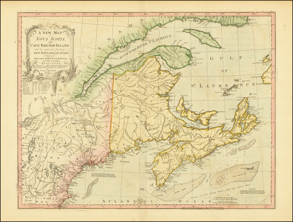
New Hampshire / 1768
Size:
30 x 22 inches
Condition:
VG
Stock#:
17048
Antique map showing New England by Batchelder made in 1768.
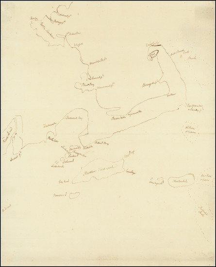
Place/Date:
n.p. / 1780 circa
Size:
15 x 18.5 inches
Condition:
VG
Stock#:
69611

Place/Date:
London / 1818
Size:
28 x 20 inches
Condition:
VG
Stock#:
46588
Pinkerton's 1818 original map showing New England.
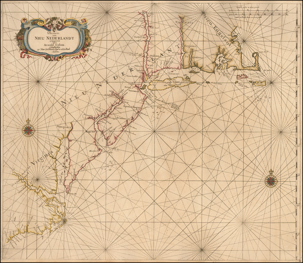
Place/Date:
Amsterdam / 1656 circa
Size:
25.5 x 22 inches
Condition:
VG+
Stock#:
46535
Colom's 1656 antique map showing New England.