
Search
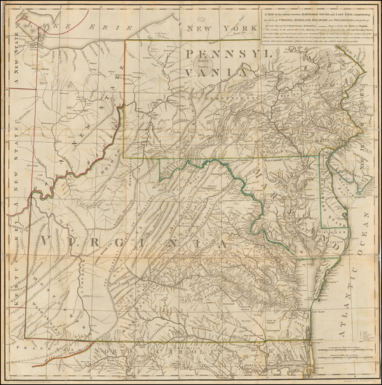
Place/Date:
London / 1787
Size:
23 x 23 inches (Map)
Condition:
VG
Stock#:
55181
Thomas Jefferson's Map / Book on Virginia
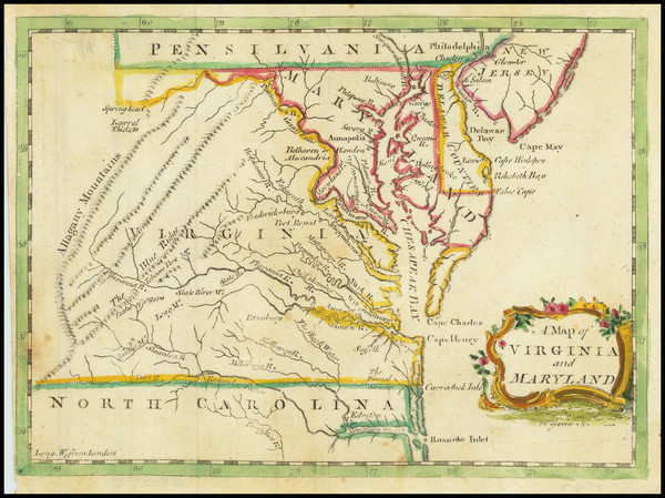
Place/Date:
London / 1755
Size:
8 x 5.5 inches
Condition:
VG
Stock#:
81587
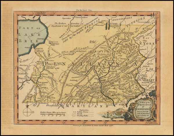
Place/Date:
London / 1756
Size:
8.5 x 7 inches
Condition:
VG
Stock#:
98226
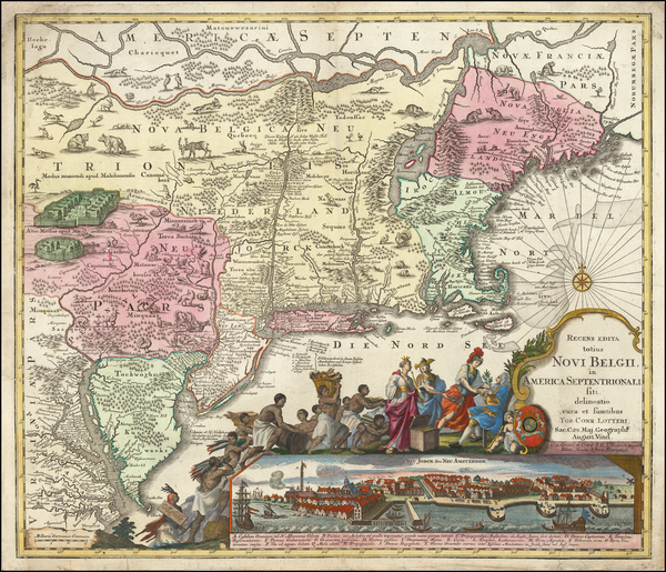
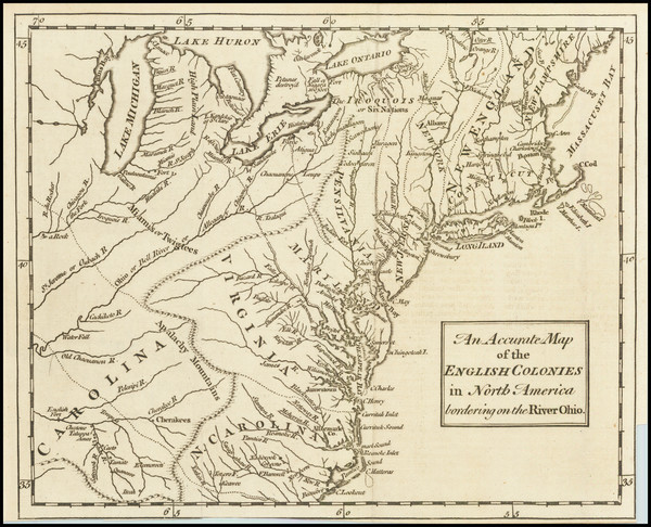
Place/Date:
Augsburg / 1757 circa
Size:
22.5 x 19.5 inches
Condition:
Good
Stock#:
63924
Original map showing the Mid-Atlantic by Lotter, 1757.

Place/Date:
Washington, DC / 1871 circa
Size:
28.5 x 8 inches
Condition:
VG
Stock#:
38475mb
U.S. Army Corps of Engineers's 1871 antique map showing the Mid-Atlantic.
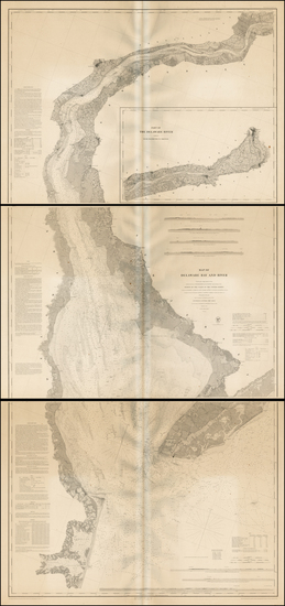
Place/Date:
Washington / 1848
Size:
35.5 x 77 inches (if joined)
Condition:
VG
Stock#:
0004sh
1848 rare U.S. Coast Survey map showing the Mid-Atlantic.
Place/Date:
New York / 1891 - 1895
Size:
27 x 16.25 inches
Condition:
VG
Stock#:
97072

Place/Date:
Washington / 1863
Size:
27 x 23.5 inches
Condition:
VG
Stock#:
47081
Original map showing the Mid-Atlantic by United States Coast Survey made in 1863.
Place/Date:
London / 1754
Size:
10 x 8 inches
Condition:
VG
Stock#:
90978
Place/Date:
London / 1777
Size:
11.5 x 14.5 inches
Condition:
VG
Stock#:
94252

Place/Date:
London / 1802
Size:
9.5 x 7.25 inches
Condition:
VG
Stock#:
95082
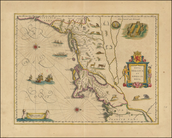
Place/Date:
Amsterdam / 1640 circa
Size:
20 x 15.5 inches
Condition:
VG+
Stock#:
91974
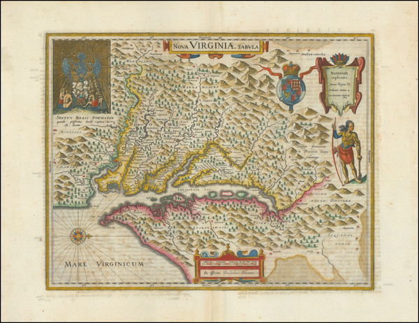
Place/Date:
Amsterdam / 1640
Size:
19 x 15 inches
Condition:
VG
Stock#:
93234

Place/Date:
Amsterdam / 1695 circa
Size:
39 x 32 inches
Condition:
VG
Stock#:
46848
17th Century Dutch Sea Chart on Vellum
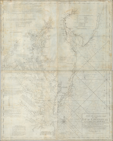
Place/Date:
Boston / 1794 (1803)
Size:
41 x 33 inches
Condition:
VG
Stock#:
55919ops
Antique map showing the Mid-Atlantic by Norman, 1794.
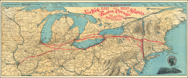
Place/Date:
New York / 1901
Size:
39 x 15.5 inches
Condition:
VG
Stock#:
92665