
Search
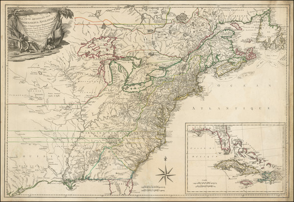
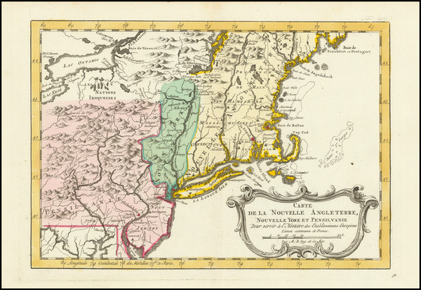
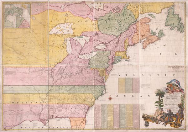
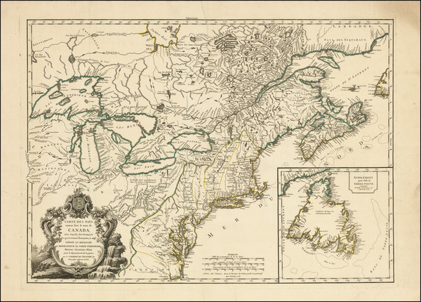
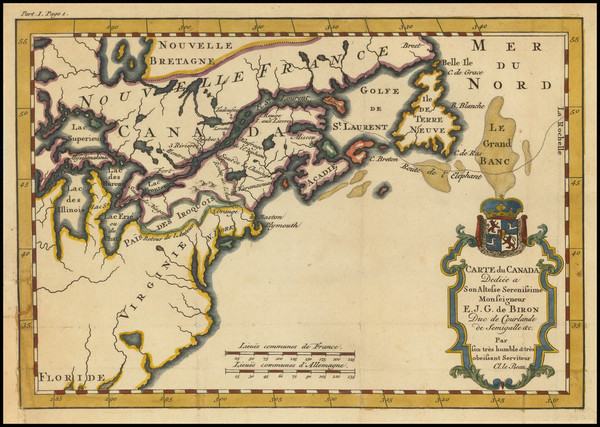
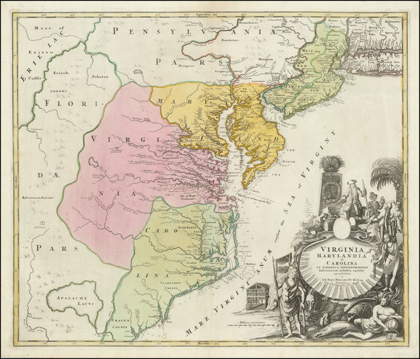
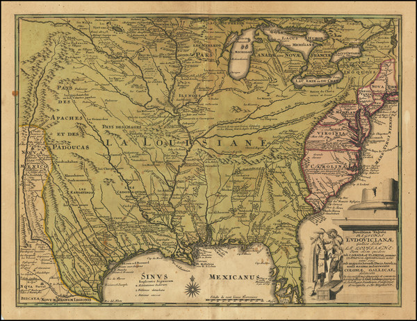
Place/Date:
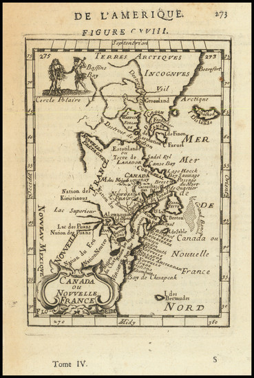
Paris / 1777
Size:
31.5 x 20.5 inches
Condition:
VG
Stock#:
103484
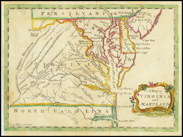
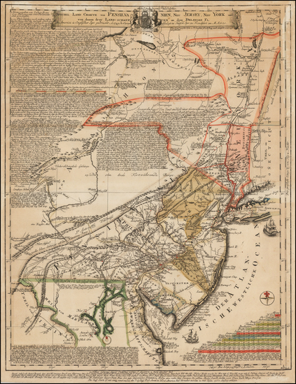
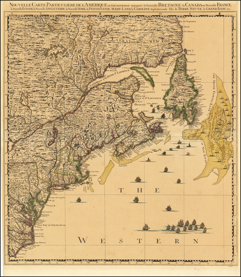
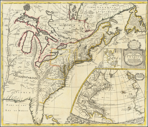
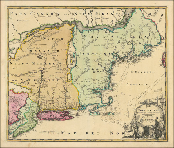
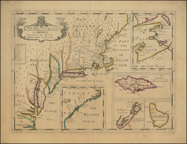
Place/Date:
London / 1776
Size:
22.5 x 28.5 inches
Condition:
Good
Stock#:
60351
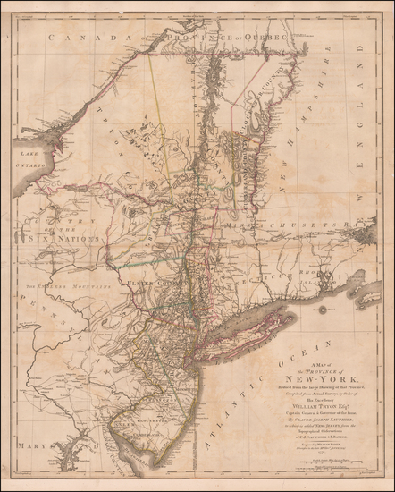
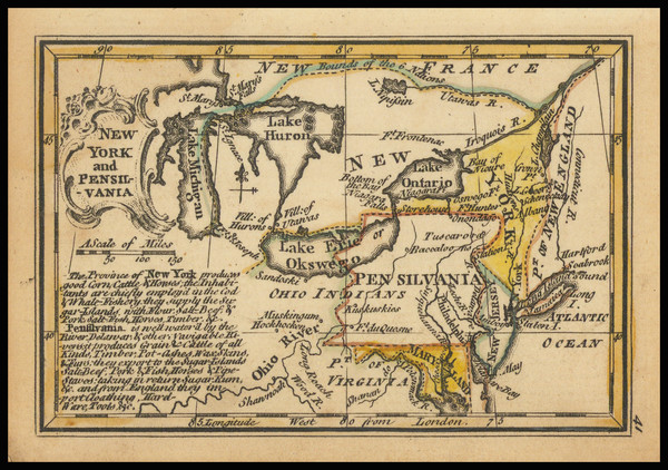
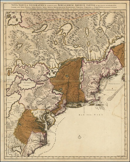
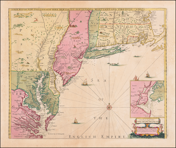
Original map showing the Mid-Atlantic by Sauthier / Ratzer, 1776.
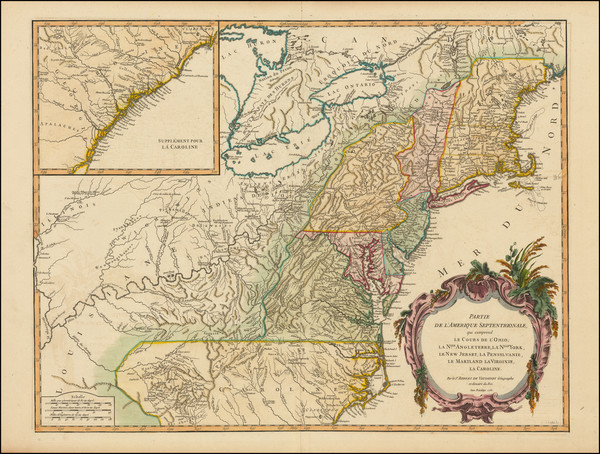
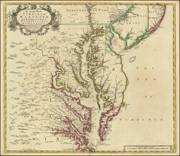
Place/Date:
London / 1776
Size:
9 x 7 inches
Condition:
VG+
Stock#:
86066
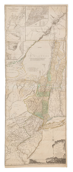
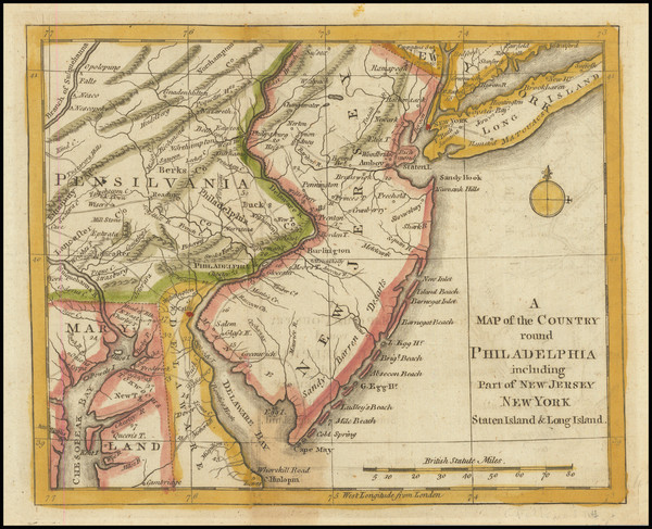
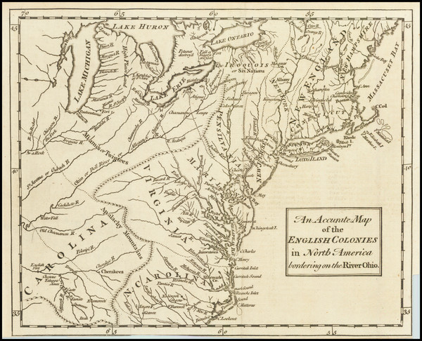
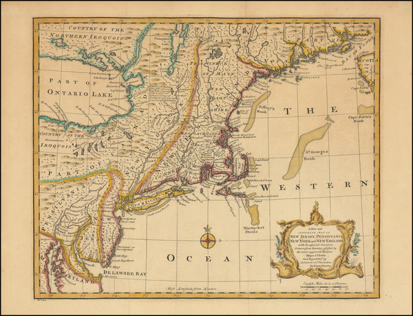
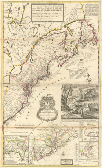
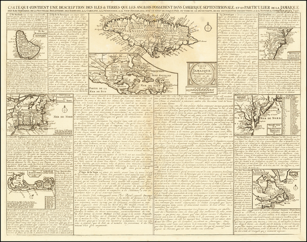
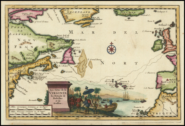
Place/Date:
London / 1776
Size:
20.5 x 43.5 inches Each Sheet
Condition:
Good
Stock#:
91422
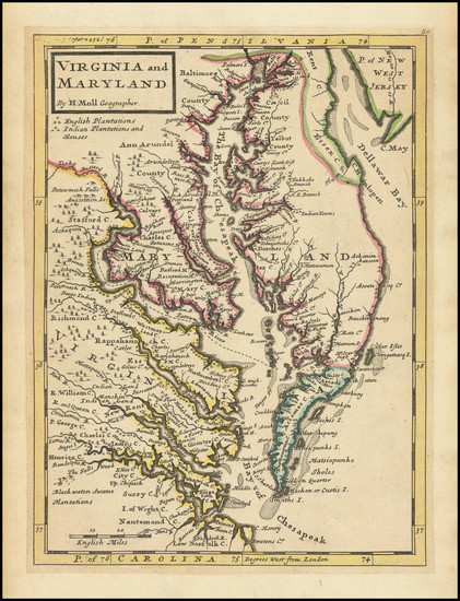
Place/Date:
Paris / 1773
Size:
12 x 8 inches
Condition:
VG+
Stock#:
99743
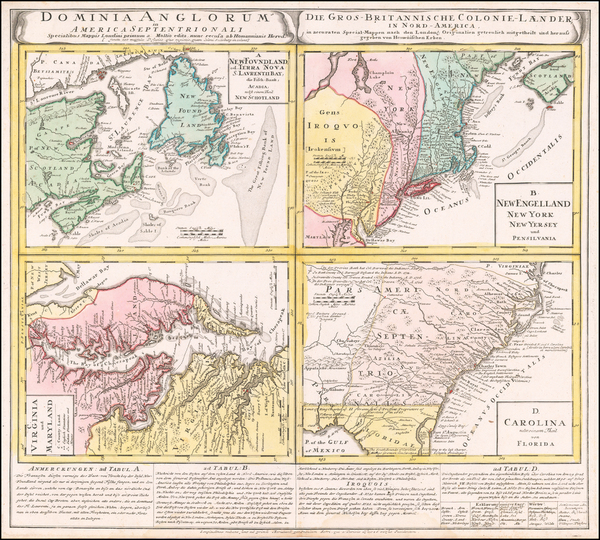
Place/Date:
Amsterdam / 1770
Size:
12 x 8 inches
Condition:
Good
Stock#:
100968
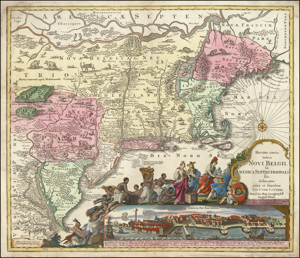
Krevelt's 1770 rare map showing the Mid-Atlantic.
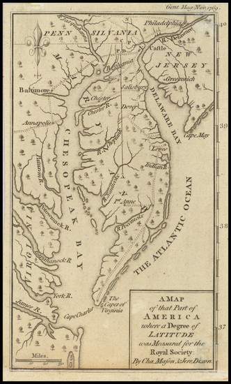
Place/Date:
London / 1769
Size:
5 x 7 inches
Condition:
VG
Stock#:
102599

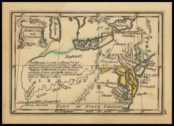
Place/Date:
Edinburgh / 1767
Size:
10 x 8 inches
Condition:
VG+
Stock#:
98156
Place/Date:
London / 1758
Size:
3.75 x 2.5 inches
Condition:
VG+
Stock#:
98228
Place/Date:
London / 1758
Size:
3.75 x 2.5 inches
Condition:
VG+
Stock#:
98229
Place/Date:
Augsburg / 1757 circa
Size:
22.5 x 19.5 inches
Condition:
Good
Stock#:
63924
Original map showing the Mid-Atlantic by Lotter, 1757.
Place/Date:
Paris / 1757
Size:
11.5 x 7.5 inches
Condition:
VG+
Stock#:
76325
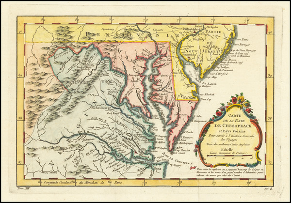
Bellin's 1757 rare map showing the Mid-Atlantic.
Place/Date:
London / 1757
Size:
9 x 6.5 inches
Condition:
VG+
Stock#:
82894
Place/Date:
Paris / 1756
Size:
13.5 x 11 inches ( Whole Sheet)
Condition:
VG
Stock#:
52293op
Gautier d'Agoty's 1756 antique map showing the Mid-Atlantic.
Place/Date:
Paris / 1756
Size:
30 x 21.5 inches
Condition:
VG
Stock#:
94026
Place/Date:
London / 1756
Size:
8.5 x 7 inches
Condition:
VG
Stock#:
98226
Place/Date:
Nuremberg / 1756
Size:
20 x 18 inches
Condition:
VG
Stock#:
103549
Place/Date:
London / 1755 - 1757
Size:
76 x 53 inches If Joined
Condition:
Good
Stock#:
60574dg
Mitchell's 1755 antique map showing the Mid-Atlantic.
Place/Date:
London / 1755
Size:
8 x 5.5 inches
Condition:
VG
Stock#:
81587
Place/Date:
Paris / 1755
Size:
24.5 x 19 inches
Condition:
VG
Stock#:
93097
Place/Date:
London / 1754
Size:
10 x 8 inches
Condition:
VG
Stock#:
90978
Place/Date:
Paris / 1753 (1755)
Size:
26.5 x 19 inches
Condition:
VG+
Stock#:
94454
Place/Date:
Frankfurt / 1750
Size:
18 x 23.5 inches
Condition:
VG
Stock#:
51958
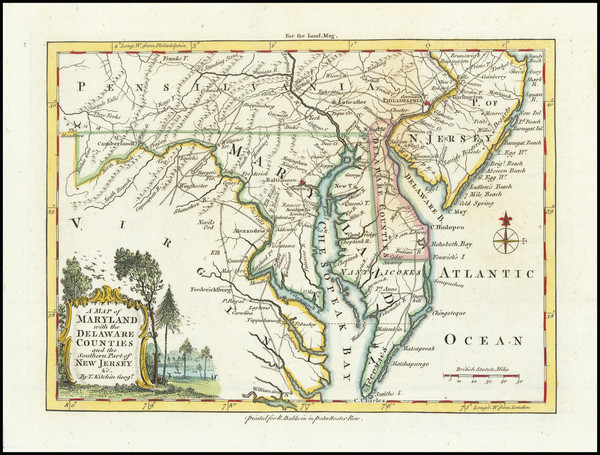
Antique map showing the Mid-Atlantic by Evans made in 1750.

Place/Date:
Paris / 1748
Size:
6.5 x 7.5 inches
Condition:
VG+
Stock#:
99262
Place/Date:
London / 1747
Size:
17 x 14 inches
Condition:
VG+
Stock#:
103556
Place/Date:
Nuremberg / 1745
Size:
22 x 19 inches
Condition:
VG+
Stock#:
60331
Homann Heirs's 1745 original map showing the Mid-Atlantic.
Place/Date:
Paris / 1738
Size:
9 x 6 inches
Condition:
VG+
Stock#:
91075
Place/Date:
Amsterdam / 1737
Size:
20.5 x 22 inches
Condition:
Good
Stock#:
64717
Place/Date:
London / 1733
Size:
24.5 x 40.5 inches
Condition:
VG+
Stock#:
101277
Place/Date:
London / 1729
Size:
8 x 11 inches
Condition:
VG
Stock#:
93311
1729 antique Moll map showing the Mid-Atlantic.
Place/Date:
Nuremberg / 1720
Size:
23 x 19.5 inches
Condition:
VG
Stock#:
93882
Place/Date:
Amsterdam / 1719
Size:
22 x 18 inches
Condition:
VG
Stock#:
61480
Place/Date:
London / 1719
Size:
23.5 x 20 inches
Condition:
VG
Stock#:
74465
Rare map showing the Mid-Atlantic by Senex made in 1719.
Place/Date:
London / 1719
Size:
22 x 19.5 inches
Condition:
VG
Stock#:
95619
Senex's 1719 antique map showing the Mid-Atlantic.
Place/Date:
Nuremberg / 1718
Size:
16.5 x 12.5 inches
Condition:
VG
Stock#:
72622
Place/Date:
Nurmberg / 1716
Size:
22.5 x 19 inches
Condition:
VG
Stock#:
100105
Place/Date:
Leiden / 1715
Size:
9 x 6 inches
Condition:
VG+
Stock#:
92418
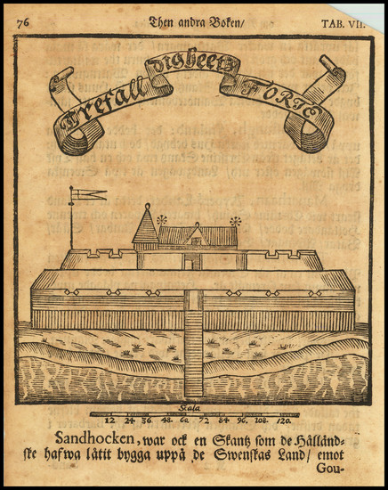
Place/Date:
Stockhol / 1702 circa
Size:
5 x 6.5 inches
Condition:
VG
Stock#:
79459
Place/Date:
Oxford / 1700
Size:
19 x 14 inches
Condition:
VG
Stock#:
98233
Place/Date:
Amsterdam / 1696
Size:
23 x 18.5 inches
Condition:
Good
Stock#:
75875

Place/Date:
Amsterdam / 1695 circa
Size:
39 x 32 inches
Condition:
VG
Stock#:
46848
17th Century Dutch Sea Chart on Vellum
Place/Date:
Amsterdam / 1695 circa
Size:
23 x 20 inches
Condition:
VG
Stock#:
47255
1695 original Van Keulen map showing the Mid-Atlantic.
Place/Date:
Amsterdam / 1692
Size:
31.5 x 21.5 inches
Condition:
VG
Stock#:
61392mp2
17th Century Sea Chart of The Chesapeake and Delaware Bay -- Virginia, Maryland, Delaware, New Jersey
Place/Date:
Frankfurt / 1692
Size:
3 x 2.5 inches
Condition:
VG
Stock#:
71479
Place/Date:
Amsterdam / 1688
Size:
6.5 x 6.5 inches
Condition:
VG
Stock#:
69405

Place/Date:
Hamburg / 1688
Size:
7 x 12 inches (with text0
Condition:
VG
Stock#:
94087
Place/Date:
London / 1685 (1715 ca)
Size:
21.5 x 18 inches
Condition:
VG+
Stock#:
60306op
Original map showing the Mid-Atlantic by Morden / Lea / Willdey / Thornton made in 1685.

Place/Date:
Amsterdam / 1684 circa
Size:
21.5 x 18.5 inches
Condition:
VG
Stock#:
93874
Place/Date:
Paris / 1683
Size:
4.5 x 6 inches
Condition:
VG+
Stock#:
91775
Place/Date:
Paris / 1683
Size:
4.5 x 6 inches
Condition:
VG+
Stock#:
97657
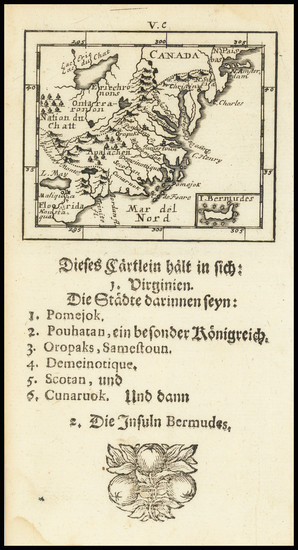
Mallet's 1683 antique map showing the Mid-Atlantic.