
Search

Place/Date:
Venice / 1690
Size:
10 x 15.5 inches
Condition:
VG+
Stock#:
75665

Place/Date:
Paris / 1772
Size:
15 x 12 inches
Condition:
VG+
Stock#:
50181
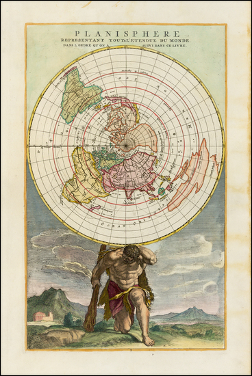
Original map showing Antique Polar Maps by Diderot & de Vaugondy made in 1772.
Place/Date:
Philadelphia / 1794
Size:
11 x 8 inches
Condition:
VG
Stock#:
69994
Place/Date:
Amsterdam / 1790 circa
Size:
17 x 10 inches
Condition:
VG+
Stock#:
38194
Elwe's 1790 rare map showing Antique Polar Maps.
Place/Date:
Stockholm / 1957
Size:
25.5 x 18 inches Including text
Condition:
VG
Stock#:
71578
Place/Date:
London / 1750 circa
Size:
22 x 17.5 inches
Condition:
VG
Stock#:
60417
Rare map showing Antique Polar Maps by Mount & Page made in 1750.
Place/Date:
Amsterdam / 1741
Size:
20 x 18 inches
Condition:
VG+
Stock#:
68768
Place/Date:
Amsterdam / 1629 circa
Size:
8 x 6.5 inches
Condition:
VG
Stock#:
65600
Place/Date:
Augsburg / 1787
Size:
9 x 7.5 inches
Condition:
VG
Stock#:
18651
1787 original Walch map showing Antique Polar Maps.
Place/Date:
Brussels / 1825
Size:
20 x 18 inches
Condition:
VG
Stock#:
19806
1825 antique Vandermaelen map showing Antique Polar Maps.
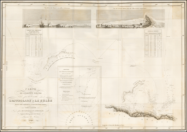
Place/Date:
Paris / 1841
Size:
23.5 x 16.5 inches
Condition:
VG+
Stock#:
52328
Rare map showing Antique Polar Maps by Vincendon Dumoulin made in 1841.

Place/Date:
Paris / 1758
Size:
14 x 8 inches
Condition:
VG+
Stock#:
43313
1758 antique Bellin map showing Antique Polar Maps.
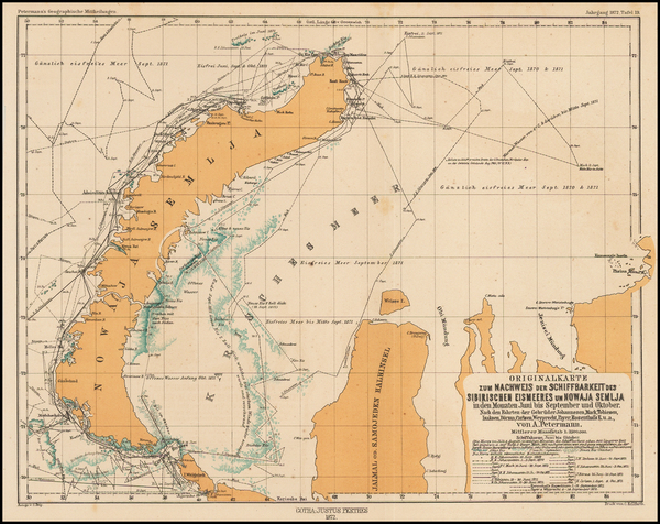
Place/Date:
Gotha / 1872
Size:
9.5 x 12.5 inches
Condition:
VG+
Stock#:
44734
1872 antique Petermann map showing Antique Polar Maps.
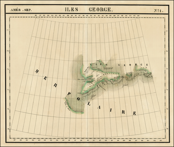
Place/Date:
Brussels / 1825
Size:
20 x 18 inches
Condition:
VG+
Stock#:
1795RB
Vandermaelen's 1825 antique map showing Antique Polar Maps.
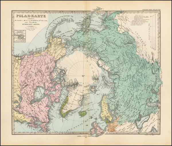
Place/Date:
Gotha / 1874
Size:
15 x 12 inches
Condition:
VG+
Stock#:
42521
Original map showing Antique Polar Maps by Stieler, 1874.
Place/Date:
Brussels / 1825
Size:
20 x 18 inches
Condition:
VG
Stock#:
19824
Vandermaelen's 1825 original map showing Antique Polar Maps.

Place/Date:
London / 1778 circa
Size:
12 x 8 inches
Condition:
VG
Stock#:
39682
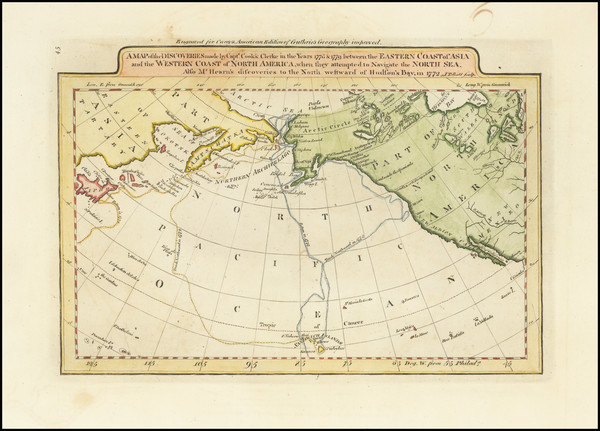
Middleton's 1778 antique map showing Antique Polar Maps.
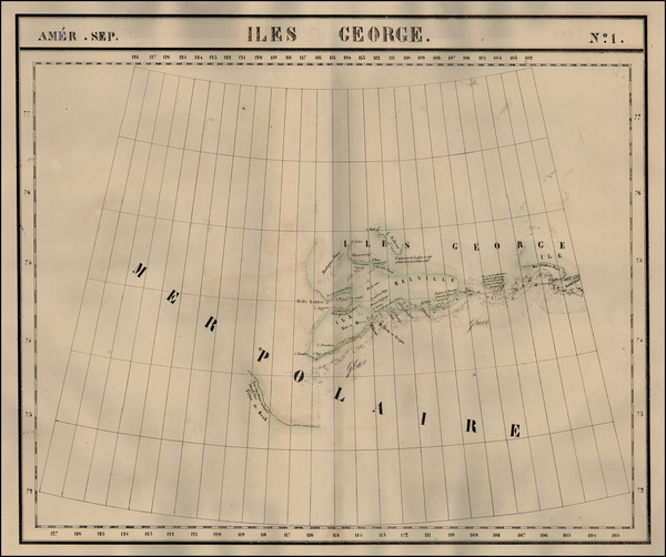
Place/Date:
Brussels / 1825
Size:
20 x 18 inches
Condition:
VG
Stock#:
1793RB
Vandermaelen's 1825 rare map showing Antique Polar Maps.