
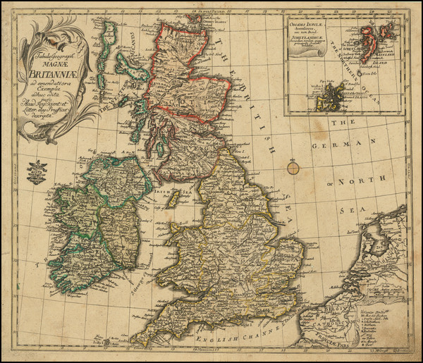
Search

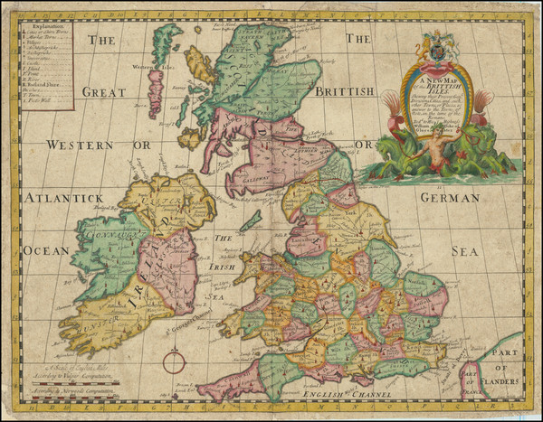
Place/Date:
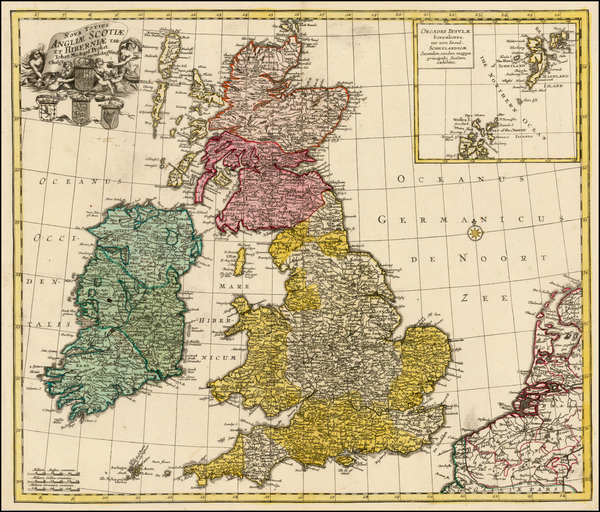
Oxford / 1704 circa
Size:
19.5 x 15 inches
Condition:
VG
Stock#:
91764
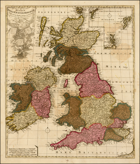
Place/Date:
Oxford / 1704
Size:
19.5 x 15 inches
Condition:
VG
Stock#:
91765
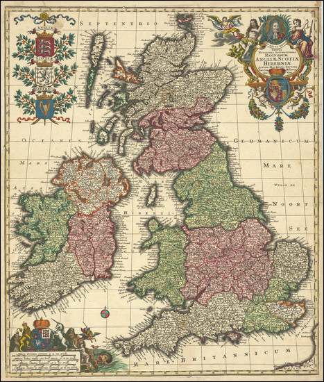
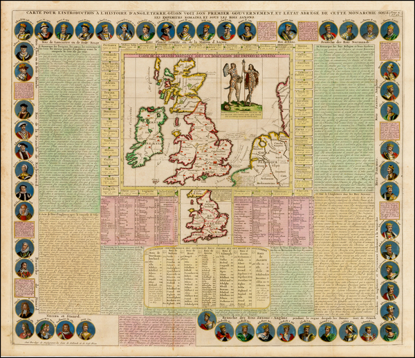
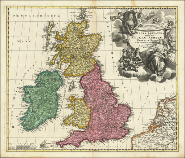
Place/Date:
London / 1706
Size:
18.9 x 15.5 inches (each sheet)
Condition:
VG
Stock#:
103973
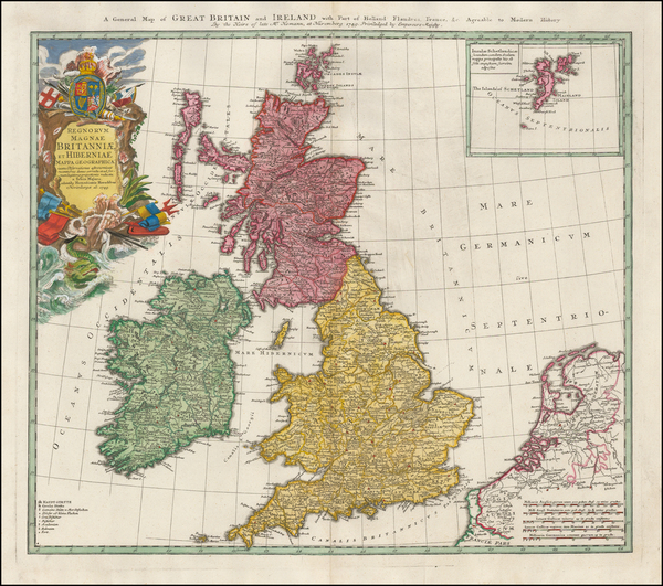
Place/Date:
London / 1813
Size:
26 x 24 inches
Condition:
VG+
Stock#:
51373
1813 antique Faden map showing the British Isles.
Place/Date:
Nuremberg / 1749 circa
Size:
22.5 x 19 inches
Condition:
Stock#:
46239
Antique map showing the British Isles by Homann Heirs made in 1749.
Place/Date:
Augsberg / 1730
Size:
19.5 x 23 inches
Condition:
VG+
Stock#:
82882

Place/Date:
Vienna / 1794
Size:
23.5 x 15.5 inches
Condition:
VG+
Stock#:
45067
Rare map showing the British Isles by von Reilly made in 1794.
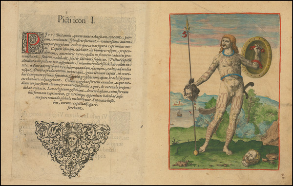
[Ancient Tribes of Great Britain and Roman Roads] Britannicae insulae, Tribus modis distinctae . . .
Place/Date:
Paris / 1749
Size:
21 x 16 inches
Condition:
VG+
Stock#:
77808
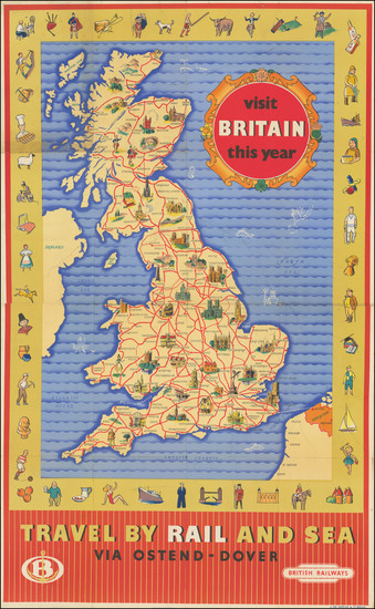
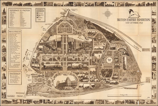
Place/Date:
UK / 1950 circa
Size:
23.75 x 38.5 inches
Condition:
VG
Stock#:
97855

Place/Date:
London / 1744
Size:
16.5 x 13.5 inches
Condition:
VG
Stock#:
78200
Bowen's 1744 rare map showing the British Isles.

Place/Date:
Chessington, Surrey / 1951
Size:
40 x 31.5 inches Entire Sheet
Condition:
Good
Stock#:
92968
Place/Date:
Amsterdam / 1648 circa
Size:
19 x 15.5 inches
Condition:
Stock#:
26195
1648 original Blaeu map showing the British Isles.
Place/Date:
Ausburg / 1760 circa
Size:
21.5 x 18.5 inches
Condition:
VG+
Stock#:
38339
Antique map showing the British Isles by Probst, 1760.
Place/Date:
Amsterdam / 1720 circa
Size:
23 x 20 inches
Condition:
VG+
Stock#:
42632
Antique map showing the British Isles by Chatelain, 1720.
Place/Date:
Amsterdam / 1706
Size:
22.5 x 19 inches
Condition:
VG
Stock#:
35614
Rare map showing the British Isles by Schenk, 1706.
Place/Date:
London / 1675
Size:
11 x 13 inches
Condition:
VG
Stock#:
53318
Original map showing the British Isles by Anonymous, 1675.
Place/Date:
London / 1948
Size:
24 x 18 inches
Condition:
VG+
Stock#:
62670
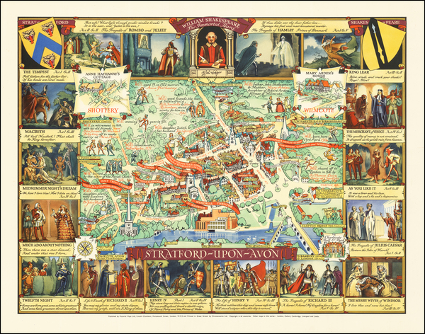
Authentic Original Pictorial Map -- Stratford-upon-Avon
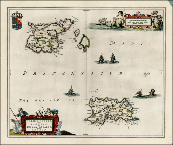
Place/Date:
London / 1794
Size:
20 x 20 inches
Condition:
VG
Stock#:
72094

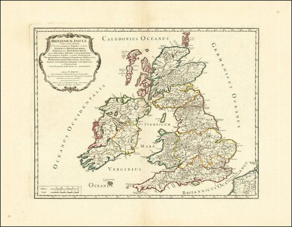
Place/Date:
Padova / 1694
Size:
20.5 x 15.5 inches
Condition:
VG
Stock#:
72180
Place/Date:
Nuremberg / 1740 circa
Size:
22.5 x 19 inches
Condition:
VG
Stock#:
79696
Place/Date:
Amsterdam / 1623
Size:
14 x 10.25 inches
Condition:
Stock#:
75243
Place/Date:
London / 1916
Size:
18.75 x 13.5 inches
Condition:
VG
Stock#:
86441
Place/Date:
Paris / 1650 circa
Size:
19 x 14.25 inches
Condition:
VG
Stock#:
86100
Place/Date:
Munich / 1700
Size:
13.75 x 9 inches
Condition:
VG
Stock#:
95667
Place/Date:
Amsterdam / 1623
Size:
14 x 10.25 inches
Condition:
VG+
Stock#:
96664
Place/Date:
Frankfurt / 1591
Size:
6.5 x 9 inches Image Only
Condition:
VG
Stock#:
99837

Place/Date:
Amsterdam / 1636 circa
Size:
20 x 15.5 inches
Condition:
VG
Stock#:
40067
Original map showing the British Isles by Jansson, 1636.
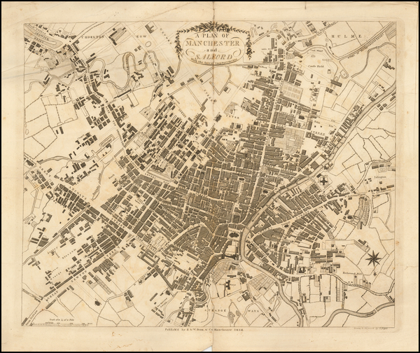
Place/Date:
Manchester / 1804
Size:
26 x 18 inches
Condition:
VG
Stock#:
54002mr
Rare map showing the British Isles by Dean & Co. made in 1804.
Place/Date:
Nuremberg / 1710 circa
Size:
22.5 x 19 inches
Condition:
VG
Stock#:
86357
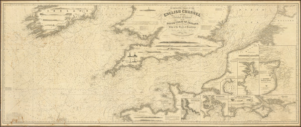
Place/Date:
London / 1865
Size:
78 x 32 inches
Condition:
VG+
Stock#:
97819
Place/Date:
London / 1781
Size:
20 x 27.5 inches
Condition:
VG
Stock#:
102203
Place/Date:
Amsterdam / 1730
Size:
23 x 18.5 inches
Condition:
VG+
Stock#:
51789
Rare map showing the British Isles by Covens & Mortier made in 1730.
Place/Date:
Augsburg / 1760 circa
Size:
23 x 19.5 inches
Condition:
VG+
Stock#:
60369
Original map showing the British Isles by Lotter made in 1760.

Place/Date:
Paris / 1641
Size:
20 x 15.5 inches
Condition:
VG
Stock#:
62165
Antique Map of the Romano-British period in the United Kingdon / England / Scotland / Ireland /Wales
Place/Date:
Amsterdam / 1690 circa
Size:
20.25 x 16 inches
Condition:
VG+
Stock#:
89461
Place/Date:
Nuremberg / 1718
Size:
13.5 x 11 inches
Condition:
VG
Stock#:
90283
Place/Date:
London / 1851
Size:
19.25 x 13.75 inches
Condition:
VG
Stock#:
94574

Place/Date:
Amsterdam / 1619
Size:
16.5 x 14 inches
Condition:
VG
Stock#:
51580
Rare map showing the British Isles by Mercator made in 1619.
Place/Date:
London / 1728
Size:
24 x 20.5 inches
Condition:
VG
Stock#:
47074
1728 original Senex / Halley / Cutler map showing the British Isles.
Place/Date:
London / 1728
Size:
20 x 23 inches
Condition:
VG
Stock#:
47459
Rare map showing the British Isles by Senex / Halley / Cutler, 1728.
Place/Date:
London / 1926
Size:
29 x 19 inches
Condition:
VG
Stock#:
50629
Antique map showing the British Isles by Betts, 1926.

Place/Date:
Hannover / 1804
Size:
20 x 19 inches
Condition:
VG
Stock#:
51697
Antique map showing the British Isles by Saltzenberg, 1804.

Place/Date:
Augsburg / 1797
Size:
18 x 22 inches
Condition:
VG+
Stock#:
51772
1797 original Walch map showing the British Isles.

Place/Date:
Amsterdam / 1705 circa
Size:
23.5 x 19.5 inches
Condition:
VG
Stock#:
71417
Valk's 1705 rare map showing the British Isles.

Place/Date:
London / 1750 circa
Size:
22.5 x 17.75 inches
Condition:
Good
Stock#:
72359
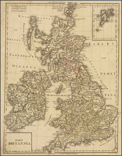
Place/Date:
Debrecen ? / 1804 circa
Size:
14 x 18 inches
Condition:
VG
Stock#:
85219
Place/Date:
Berlin / 1752
Size:
14.5 x 12.3 inches
Condition:
VG
Stock#:
102838
Von Euler's 1752 original map showing the British Isles.
Place/Date:
Paris / 1702
Size:
24.5 x 18.5 inches
Condition:
VG+
Stock#:
79444

Place/Date:
Paris / 1640
Size:
20.25 x 14.5 inches
Condition:
VG+
Stock#:
82032
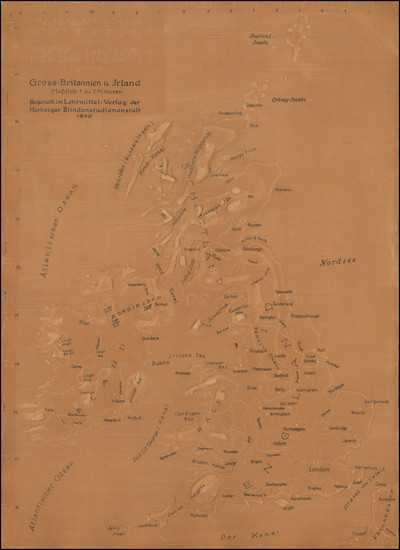
Place/Date:
Marburg / 1940
Size:
17.5 x 25 inches
Condition:
VG
Stock#:
83285