|
||

|

|
|

|
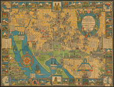
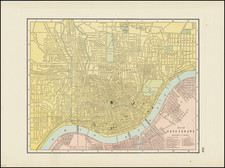
Four early city maps from the first edition of Bradford's Atlas. The maps show Washington, D. C., New Orleans, Jeffersonville, and Cincinnati.
Each of these maps shows streets and blocks and is colored by neighborhood. Important streets and buildings are named. Relief is indicated.
Thomas Gamaliel Bradford (1802-1887) was an American geographic publisher. He hailed from Bradford, Massachusetts and began his publishing career by working for the America Encyclopedia. Then, he edited and republished the Atlas Designed to Illustrate the Abridgement of Universal Geography, Modern & Ancient, which had originally been offered in French by Adrian Balbi. In 1835, he published another atlas, A Comprehensive Atlas: Geographical, Historical & Commercial, and, in 1838, An Illustrated Atlas Geographical, Statistical and Historical of the United States and Adjacent Countries. His interests were primarily in educational publishing and he was one of the first mapmakers to show Texas as an independent country.
![Atchafalaya-Pontchartrain Basins of the Alluvial Valley of the Mississippi River [2 sheets of 4]](https://storage.googleapis.com/raremaps/img/small/95382.jpg)