|
||

|

|
|

|
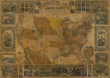
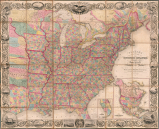
Rare early map of the United States, showing the U.S. as far west as the Missouri Territory.
The map is attractively laid out, with a primary focus being on rivers, but also many towns and other centers named.
The map reflects a fascinating period in the geopolitical evolution of the U.S. Mississippi Territory has now been divided between the states of Mississippi and of Alabama. Michigan Territory has recently been created but does not yet include the Upper Peninsula. Illinois Territory and Indiana Territory are shown, but the boundaries are pushed considerably west of their true location by an oversized Ohio, such that Illinois does not touch any part of Lake Michigan and Chicago is left in the Northwest Territory.
Rarity
The map is very rare on the market.
This is the first time we have seen the map. There is also an 1816 edition, pre-dating the creation of Alabama Territory.
Fielding Lucas, Jr. (1781-1854) was a prominent American cartographer, engraver, artist, and public figure during the first half of the 19th century.
Lucas was born in Fredericksburg, Virginia and moved to Philadelphia as a teenager, before settling in Baltimore. There he launched a successful cartographic career. Lucas's first atlas was announced in early- to mid-1812, with production taking place between September 1812 and December of 1813, by which point the engravings were complete. Bound copies of the atlas -- A new and elegant general atlas: Containing maps of each of the United States -- were available early in the next year, beating Carey to market by about two months. Lucas later published A General Atlas Containing Distinct Maps Of all the known Countries in the World in the early 1820s.